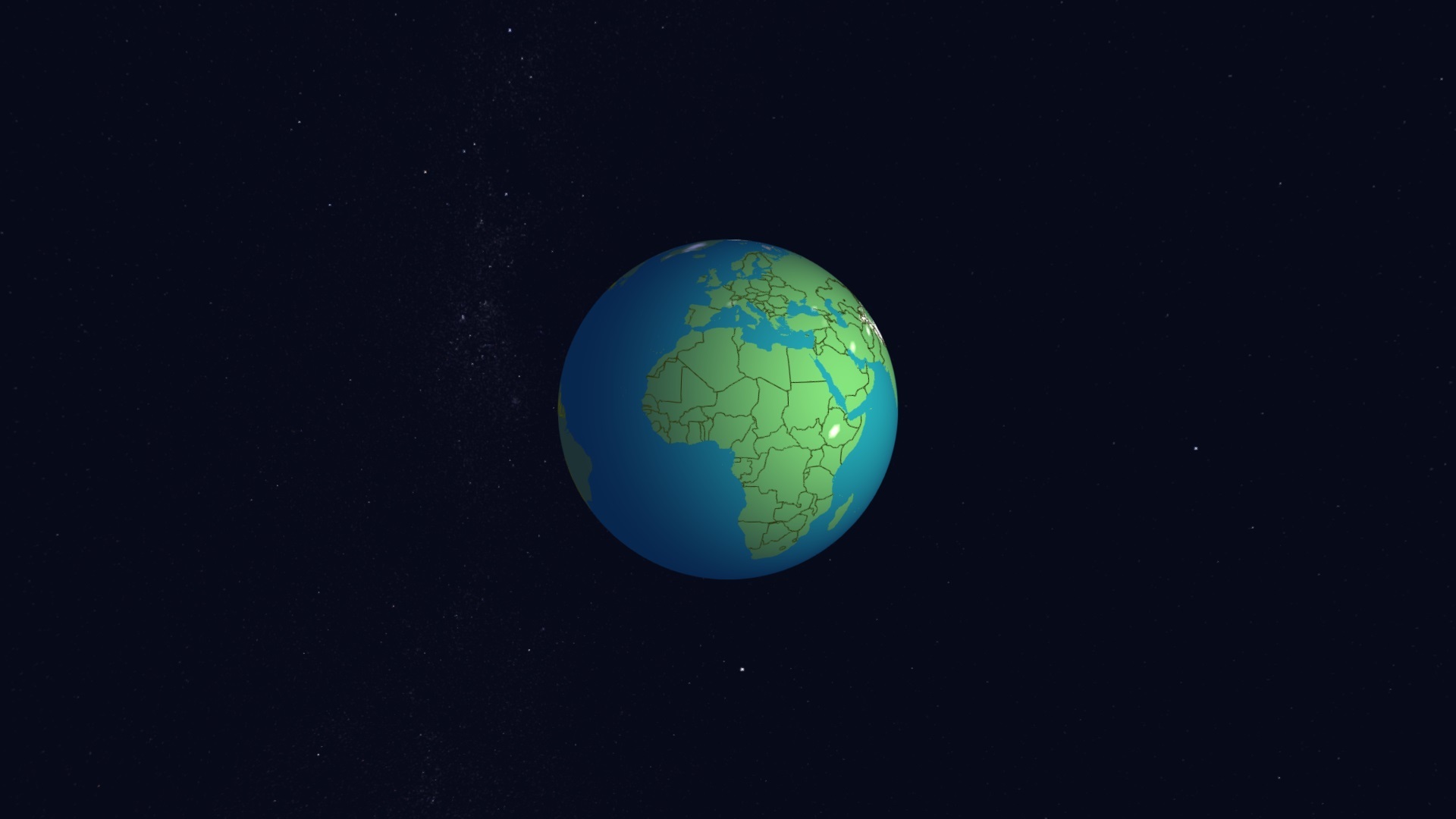
The full earth-covering base map
contains basic land mass geometry and height information for the entire Earth in 1 million tiles, containing 400 million height samples, with each sample describing the height for a 2 km x 2 km area.
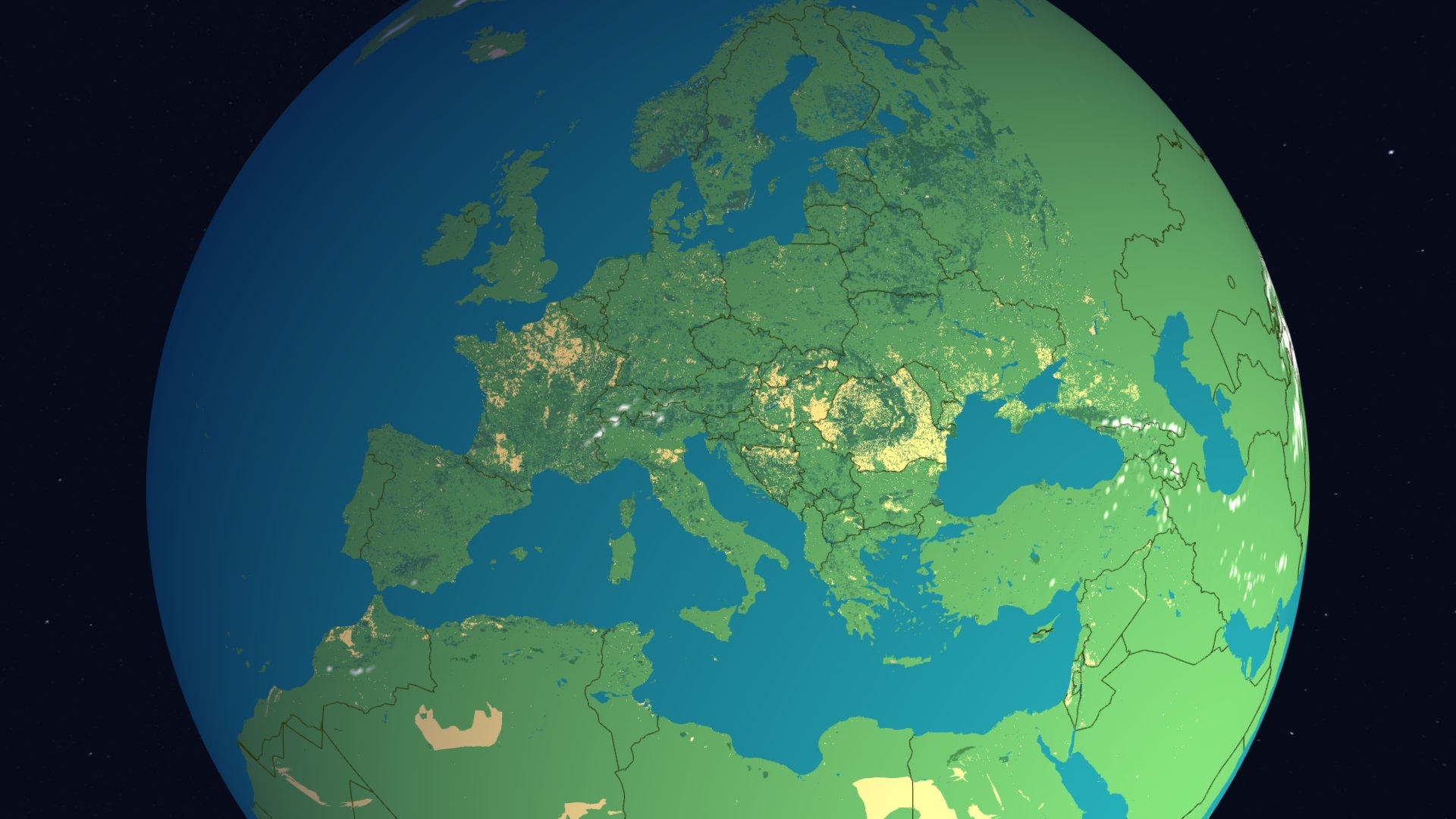
For Europe we include a low-detail land-use database
West to East stretching from the UK to the Ural mountains and North to South from the North Cape to the Sahara desert. This database contains features sized 150m across or larger.
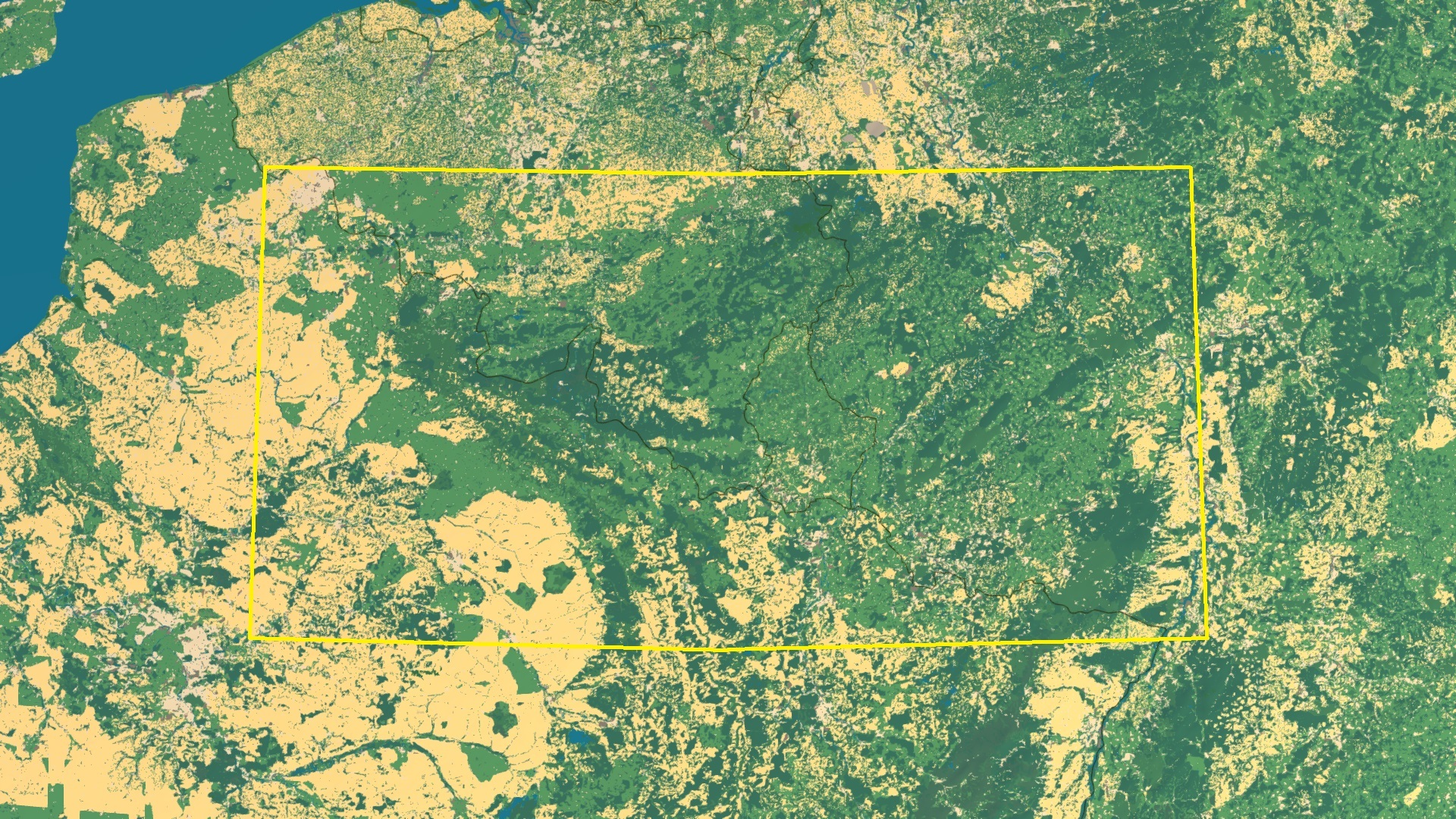
The highest detail map covers the following parts of
Belgium, France, Germany and Luxembourg. It includes elevation with a resolution of 30 m x 30 m per sample, building geometry and geographic features as small as 3 meters across.
It also includes a full navigable road network as well as railways and waterway geometries such as canals and streams.
The simulated armed forces in the Benchmark
consist of over 50000 men, 3000 tanks and other armored vehicles, 7000 motorcycles, 12000 soft-skinned motor vehicles, over a 1000 guns and 4000 horses in over 6000 units.