
Hello all!
This update gives the world map a new visual style and adds another set of improvements to the Map Editor.
A new look for the world
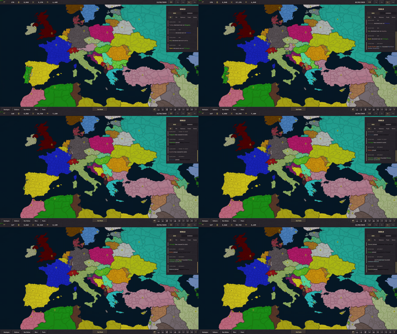
The political map now uses one sharp pixel grid instead of thousands of separate region images. Country colours remain familiar but borders, coastlines, selection and conquest are clearer and more consistent at every zoom level. Front lines, flags, tanks, jets and building icons have been adjusted to fit the new map. Visible front lines now run on the GPU, making active wars much smoother while leaving the CPU free for the simulation.
Update log
Map Editor
Added an Erase Land brush that removes a region, its land fill and its boundary ink together.
Reference images can now scale from 1% to 1000%.
Changing reference-image scale no longer moves the image back to the centre.
Added Fit Image to Map to centre and size a reference in one click.
Reference-image controls now use a clearer layout with matching button sizes.
Map and interface
The Scenario Editor uses the finished map view while no country, region or map tool is open.
The Total Deaths tooltip updates its military and civilian numbers while it remains open.
Thank you for playing Observe and for continuing to share your maps, screenshots and bug reports.