
Hello everyone,
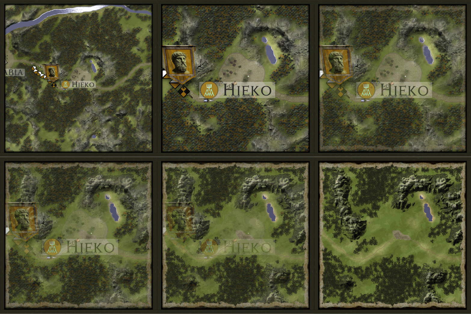
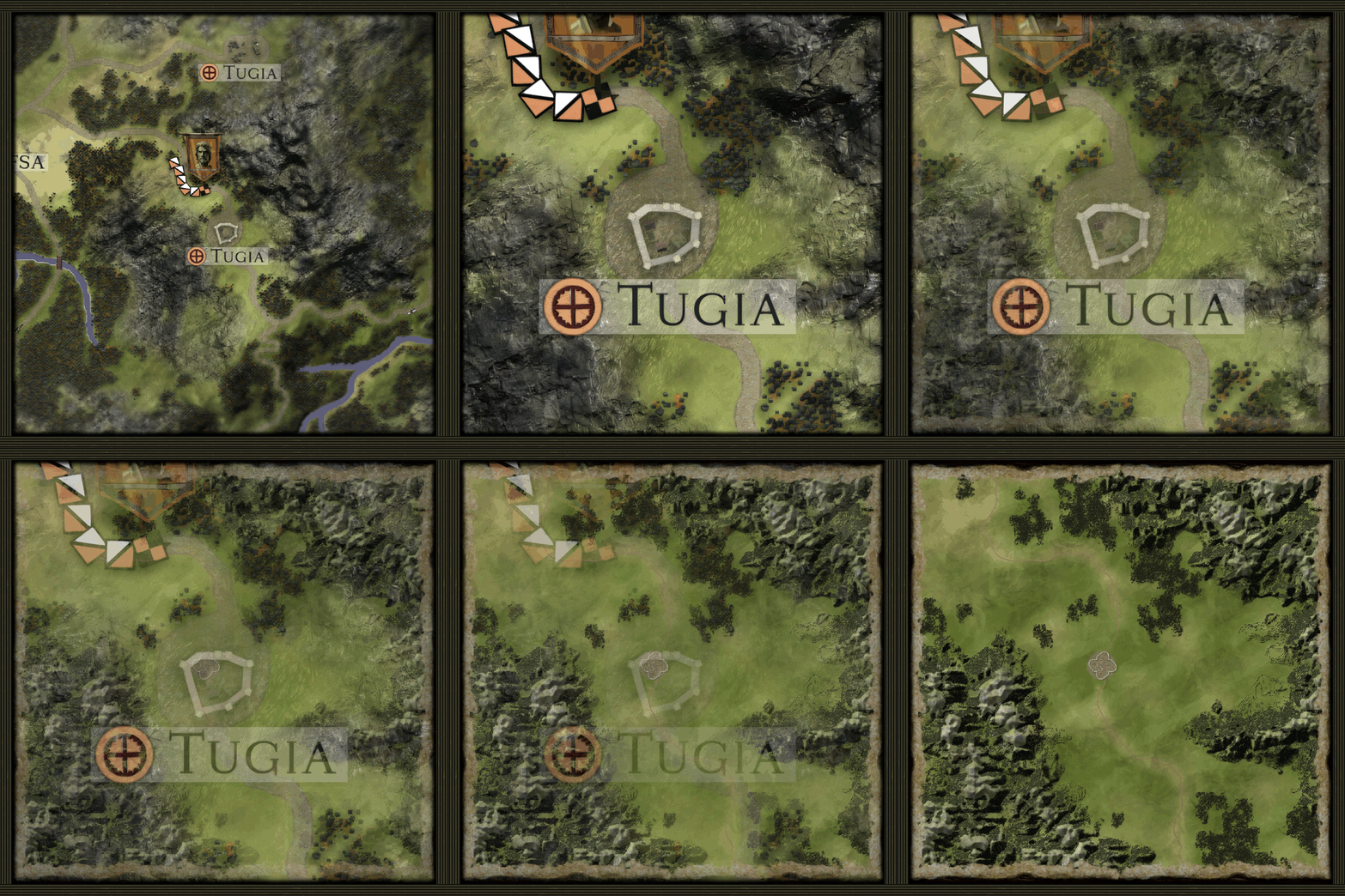
Over the past two months I focused on improving how battle maps are created in Carthage: Bellum Punicum. When a campaign battle starts, the game takes the area between both armies on the campaign map and generates a full-scale battle map from it. The terrain matches the campaign map but in much greater detail, covering roughly 12 by 12 kilometers.
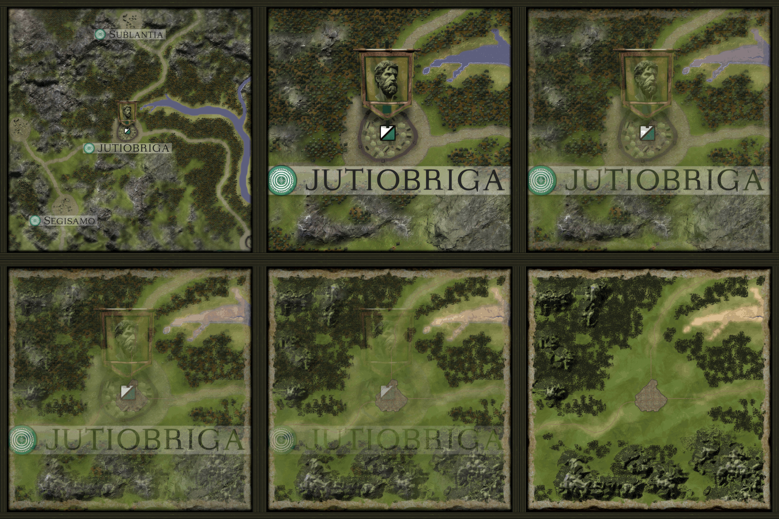
Each terrain feature, like rivers, mountains, forests, and roads, is processed with its own algorithm to bring out realistic shapes and patterns. Settlements were the most challenging, as I also wanted them to be easy for future modders to customize. After a lot of work, the result is already solid. Every culture, from Carthaginians and Romans to Gauls and Iberians, has unique settlement layouts and buildings, reflecting their historical identity.
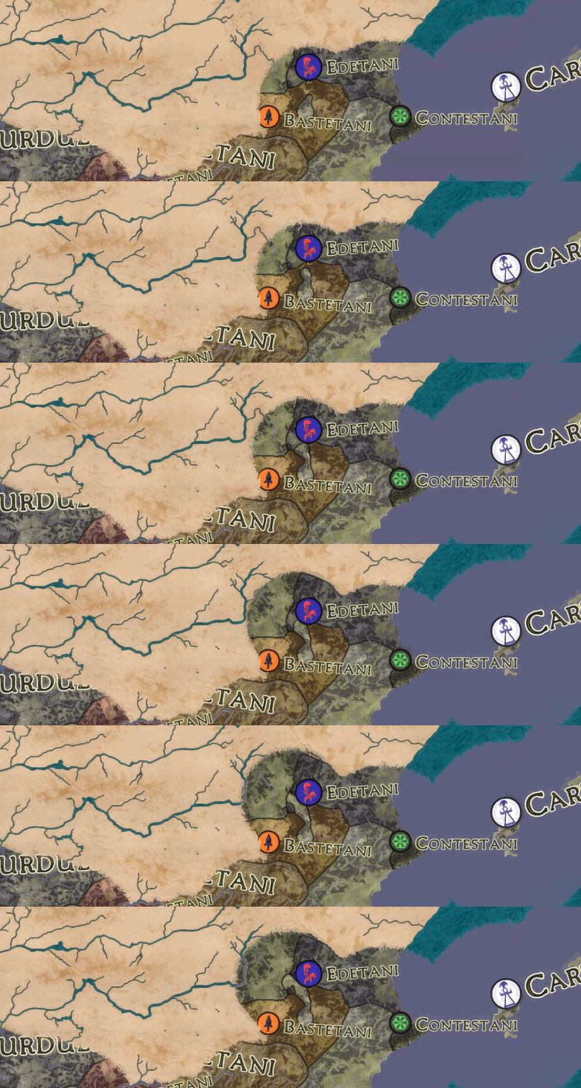
I’ve also been working on the campaign fog of war. Undiscovered areas appear like an ancient map, showing only terrain features such as coastlines, rivers, and mountains. As the player moves armies or scouts, the map gradually reveals itself.
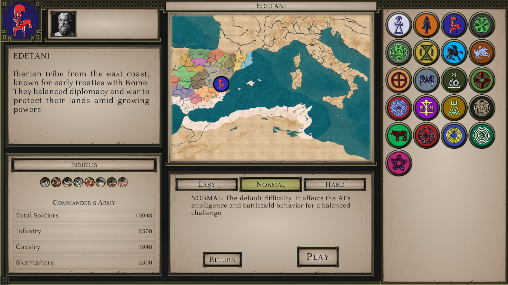
I’m also sharing a screenshot of the faction selection for the Iberian campaign. For now, it includes only Iberian factions, but more will be added as the campaign expands.
Hope you liked this update, see you in the next one!