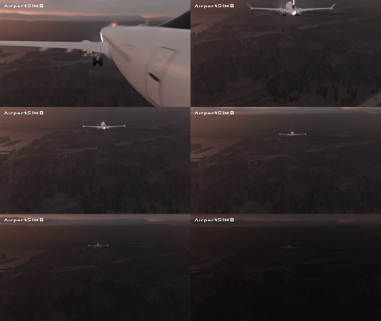
Imagine that there is a really thick fog over the airport - visibility is maybe a few meters. In such a situation, if pilots could only be guided by what they see in front of them, planes would not be able to land. They would have to be sent back to another airport with better conditions. Chaos that would be difficult to control would ensue. The solution to this problem is called ILS.
What is ILS?
The ILS, or instrument landing system, was invented specifically to conduct flight operations in conditions of limited visibility - the “fog example” comes to mind first, but after all, pilots can also land when a snowstorm or sandstorm is raging around.
We've been using this system for a long time, since about eighty years ago. And here you will probably think: "hasn't anything better been invented in all that time?". The short answer is: why reinvent something that works well? A longer answer would require a separate article on history, mentioning Soviet systems, or the Lorenz system that was the precursor to ILS, or the newer MLS or GNSS systems... but suffice it to say that ILS is the most widespread system, which is the most versatile and, above all, very simple.
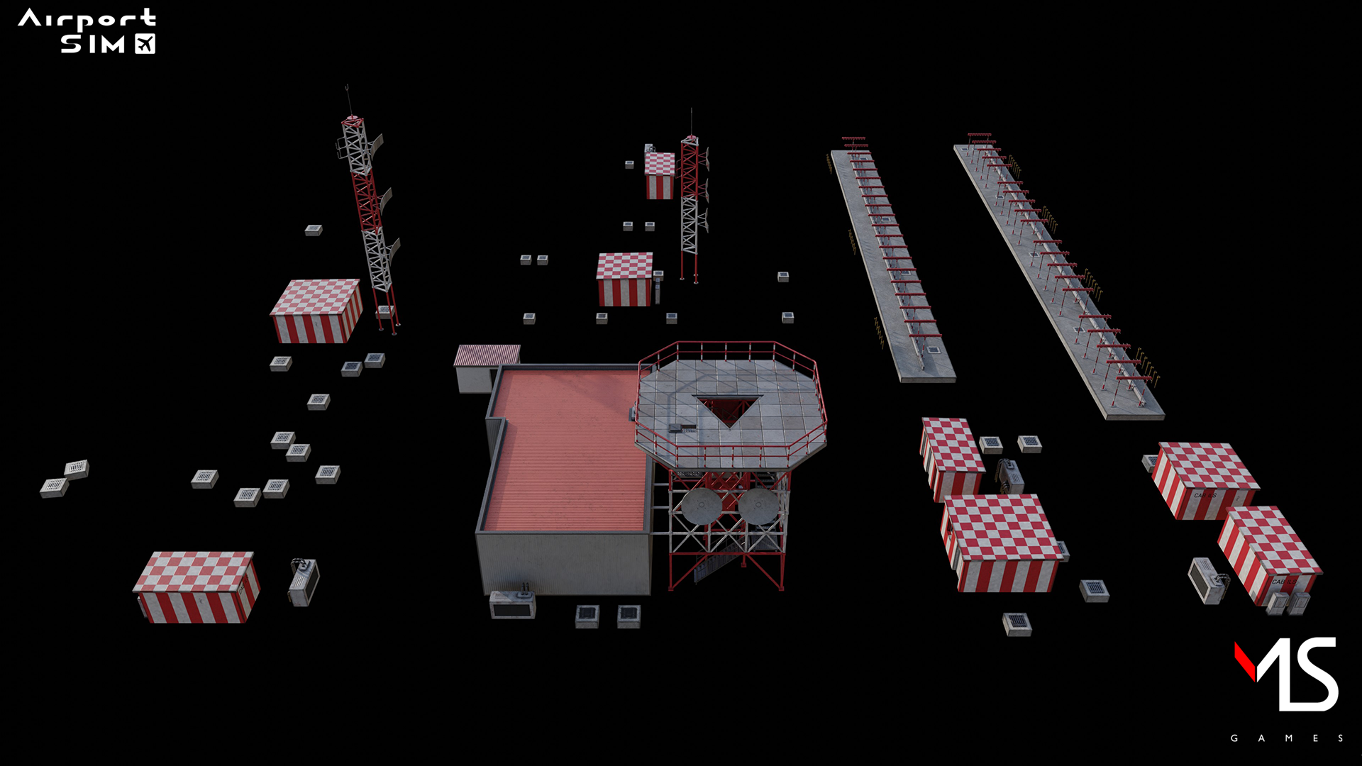
How does ILS work?
The basic question we want to ask when an aircraft lands in bad weather conditions is: where is the aircraft? If the airport knows this, the pilots will also get this information (especially they should know for proper approach). So how do you make them know which way to approach the runway to avoid crashing the machine?
You can visualize it this way: we send a beam of light from the ground, just like a flashlight. The beam expands and hits the plane - now we know where we are and where we are supposed to go (to the flashlight of course) . The problem is that we can't very well determine the right landing path - are we flying too low or too high to touch down at the right moment?
So we attach a second beam of light of a different color so that it half overlaps the other. We place both reflectors at such an angle that the area in which they overlap marks the correct approach path. All right, but we were talking about low visibility conditions, so the beam lights won't work. But - what is light exactly? Well, it is, after all, a stream of photons, which has a wave nature - or more precisely, an electromagnetic wave. Short question: What else is an electromagnetic wave?
Radio waves
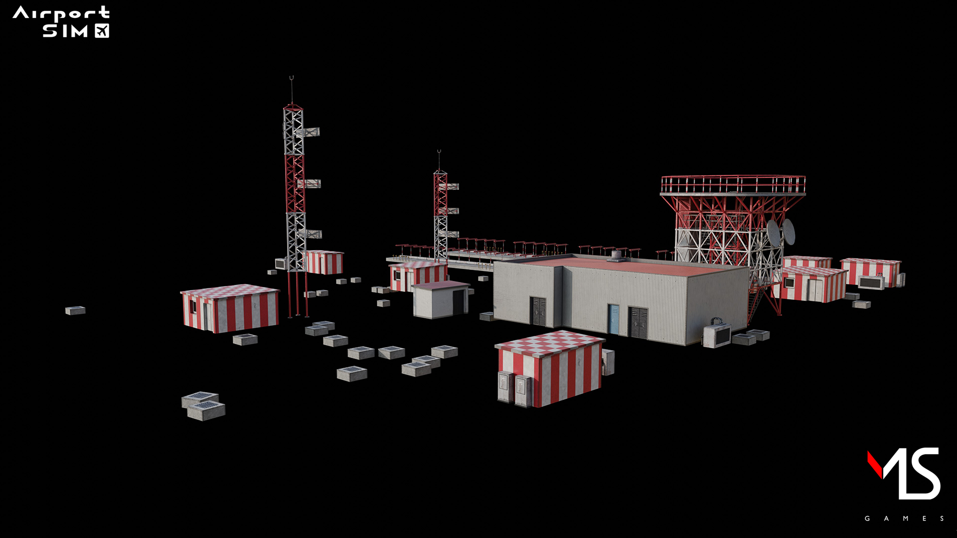
And that's the principle on which ILS operates. Now, having antennas transmitting signals at different frequencies, we can determine the path of the aircraft. By adding two more transmitters diagonally, so that together they form a "cross," we can determine the correct path of the aircraft in three-dimensional space without having to see the landing strip. Adding more sensors, so-called "markers" set at appropriate locations along the aircraft's approach path, sends the pilots an accurate signal of where they are and whether they are flying at the correct approach altitude.
Each ILS consists of three sets of equipment that operate independently of each other: a direction finder, a device that determines the distance from the touchdown point (markers), and a glide path finder.
Does that system have any limitations? Sure - first of all, the terrain in front of the airport must be properly leveled to cancel out possible reflections of radar signals, there is mainly only one ILS-assisted approach direction per runway direction, the system itself is also subject to interference from radio stations that broadcast on similar frequencies, and is the reason why usually airports are not built one next to the other - because interference could seriously disrupt the systems.
Nonetheless, ILS is the standard that works today, and - aside from upgrading receivers and transmitters - not much can really be designed better into it.