
The Open World
It's finally time to create the open world for Boat Crew's campaign! Today we will be reviewing the preliminary design, major issues that were glaring from it, and the reorientations to prevent them. The design would actually have been fine if we focused on creating a cute and simple boat game. but Boat Crew has extended past the scope and quality we intended when we set out a year ago, the embryonic direction is starting to become incompatible with what we now want to achieve.
The Original Design
The campaign was originally planned to take place in an always physically simulated scene, where objects spawned or disappeared off the horizon as you moved around, cuts and jumps only occurring when a mission was engaged or your PT boat was docked to a tender. The tenders serving as bases for repairs, recruitment, customization, fast travel across each other, etc. There was going to be a sector based map where you sail mission to mission, facing random encounters off duty. The map would have been more or less fictional with 10-15 2x2km islands to roam in between, placed in a way that keeps empty ocean sailing to a bearable amount. Completing the mission batch of a sector would reduce enemy activity in the neighboring ones, grant a new tender location, and ultimately let you get to the later missions without being overwhelmed.
This approach felt very straightforward at the time (March 2021) and gave confidence for a Q3-Q4 2021 release, with ~8 months of development. Every initially planned feature except the campaign was experimented by then. Yet, the feedback during Steam Next, observations of Youtubers, and encouragements from certain individuals lead us to reconsider wrapping up the game in the state that it existed. With the closed beta and its challenge levels, we kept at iterating the game instead.
Enlightenment
During this extended development we naturally stacked up a lot of knowledge on what happened in the Solomon's, eventually leading us to want to use the real world map itself, which is incompatible with the preliminary map design structure, which was supposed to be fictional. No matter how the real world is scaled, unless the long stretched islands become single digit kilometers in length, it always has a massive amount of open sea to wander around with nothing in sight. Not only that, the amount of coastal area is immense and would feel empty with the limited resources we have to throw at it, whether content creation ended up being by hand or procedural.
After these considerations, it becomes clear the a fully open and simulated world isn't the best way to proceed. We found the solution by separating open world traversal from combat, where combat is initiated based on what you encounter during traversal. This means we are moving more towards a Mount and Blade or Highfleet style campaign, in contrast to the likes of Metal Gear Solid V or Grand Theft Auto V.
The Setup
The traversal layer of the campaign will be removing a massive amount of work that would've needed to be done for a realistic map. Together with the abstraction medium it provides, it allows us to implement some features we previously thought were unfeasible. You will be able to move around as a squadron rather than a single PT, fast forward on the move, interact with nearby units, and more.
Traversal will be a game on its own, your stealth and timing will determine successful engagements. Radio and radar activity will have consequences on exposure. The more you meddle with the enemy's operations, the more the AI will work to track down and corner you.
Technical
We've already started setting up the world and rendering it. The GEBCO Grid was used to import the heightmap of the area related to the Solomon Islands. Some defects are noticeable if compared with google maps, if there is an notable small island missing we can hand paint it into the heightmap.
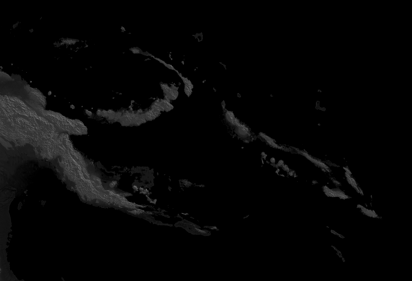
A custom shader is used to create carefully adjusted contours on the heightmap, overlaid on a paper texture. With some tinkering we made it possible to curve text to give an atlas like feel.
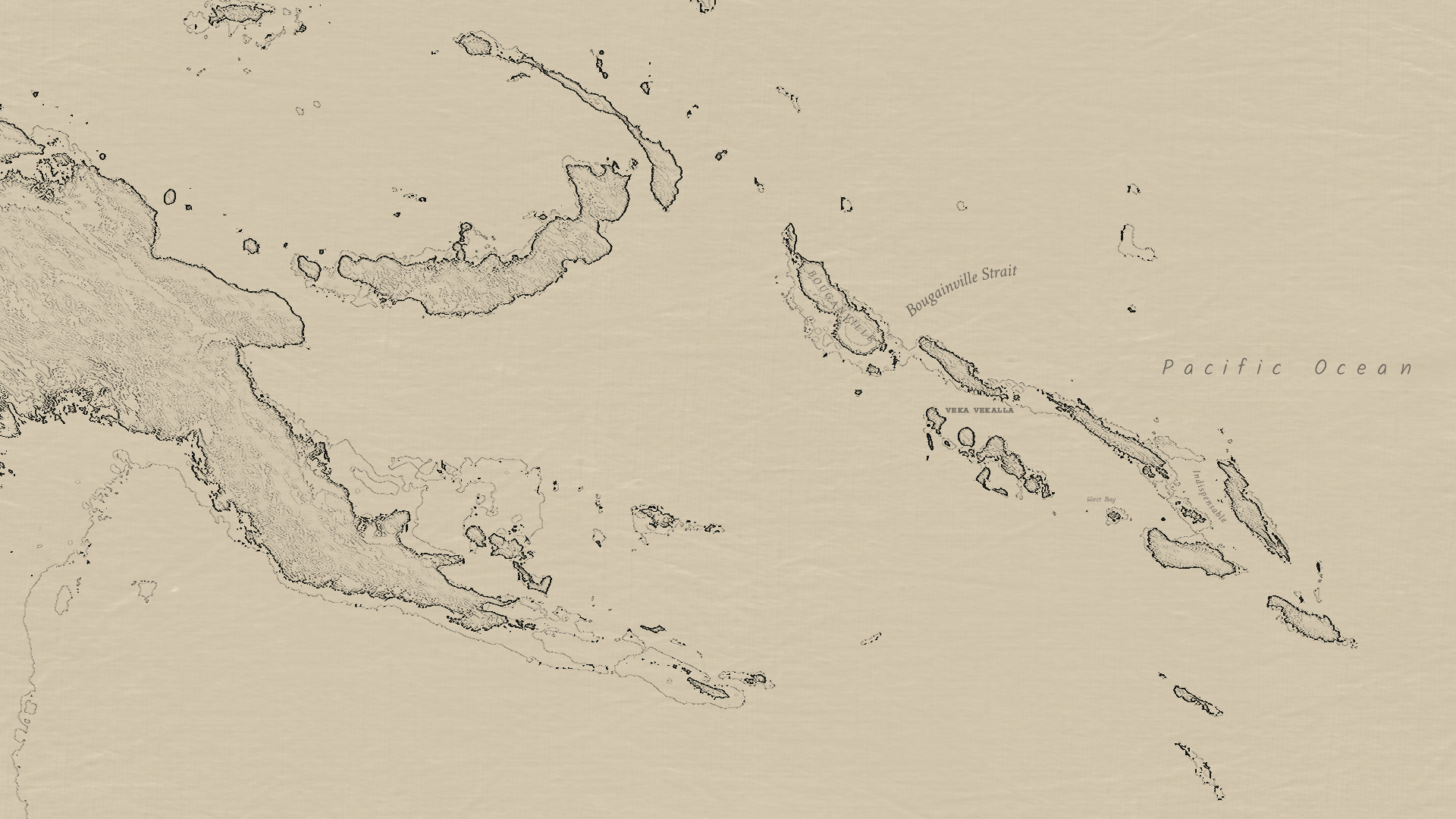
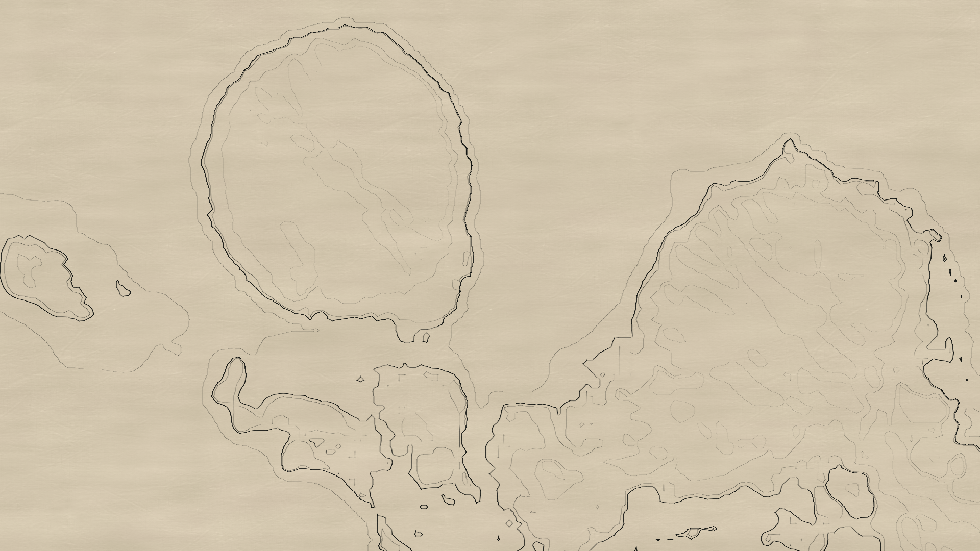
The shader scales seamlessly to render at all zoom levels. Note, you should be able to view these images better by opening them in a new tab.
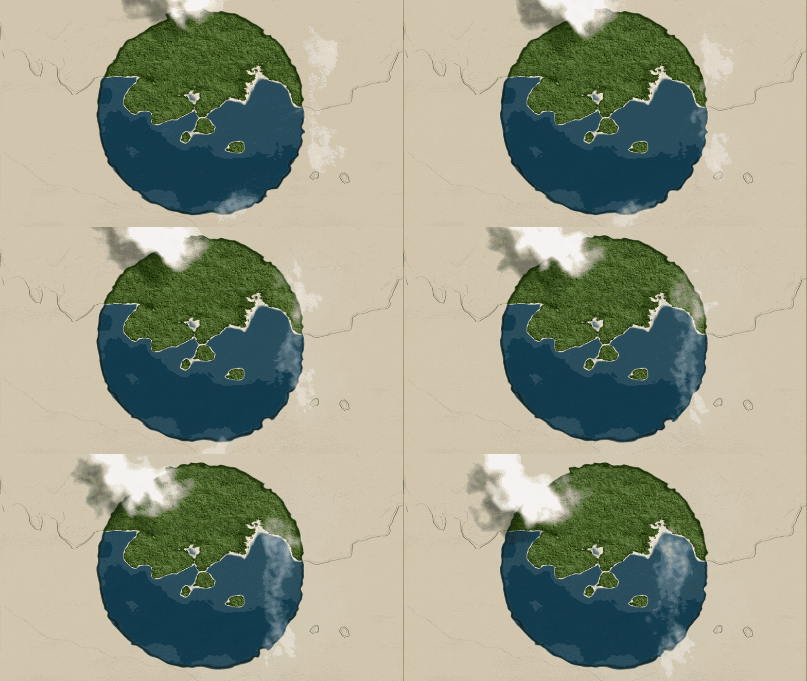
The map reveals a preview of the area that is zoomed into.
Thanks for reading! This should evolve into a series soon.
-Cotanius