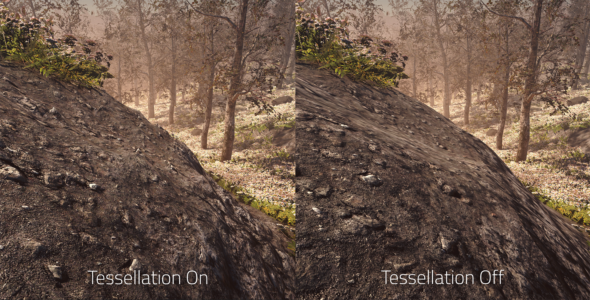
Terrain tessellation makes details like pebbles stand out by generating additional triangles there and then raising or lowering them.
In combination with parallax occlusion mapping, this allows for raising or lowering the terrain to match the height map details. As a result the terrain looks so much more detailed close up and not just a flat plane. This is especially apparent when viewing from a side profile.
Makes rocky rocks rockier!