
Climate simulation: terrain attributes
When we talk about climate simulation in BoC, we talk about a collection of params based on real-world models, like the amount of sunlight over the terrain influenced by the north-south position based in the circles of latitude.
There are 4 terrain attributes (that have different effects over buildings and units) based on current hexagonal tile: average terrain altitude, biome type, annual average temperature and the annual average amount of sunlight.
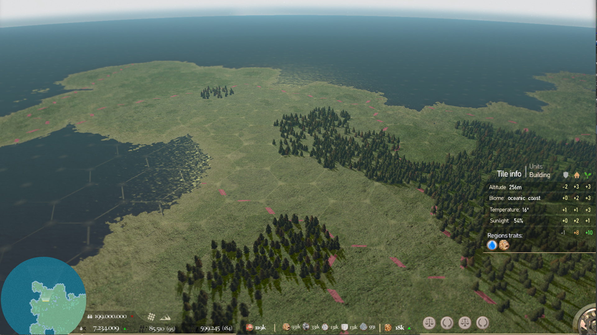
The most immediate effect that you will notice when you move across the world is the illumination, literally the illumination changes based on your world position, and this is just a reflection of how also the rest of parameters changes. Are the circles of latitude, the terrain formations (and shape continental), and also the altitude of terrain, that in fact sets the terrain attributes (combinated).
From Ice age, you will feel how the terrain attributes evolve from a cold environment to see how climate change comes and enable the way to the first civilizations.
Terrain attributes (buildings) :
- Altitude: its shows the average altitude of terrain tile. A closer altitude from sea level will boost the human and animal activity, meanwhile, the terrain elevations bring a defensive bonus.
- Biome: it shows a type of common characteristics of the enviroment, each biome have its own bonuses.
- Temperature*: it shows the annual average temperature for a terrain tile, usually, a warm temperature will allow an easy human and animal activity, the average temperature also is affected by altitude and sunlight.
- Sunlight: it shows the annual average hours of sunlight for the terrain tile, is based directly in the terrain tile latitude position, a soft latitude will increase the amount of sunlight.
*You can select units for temperature and altitude, from Celcius to Fahrenheit, or from meters to foots
(Meanwhile Celcius currently are officially used in Europe, Asia, Africa, Oceania and America less than USA. Fahrenheit is just used officially in USA.)
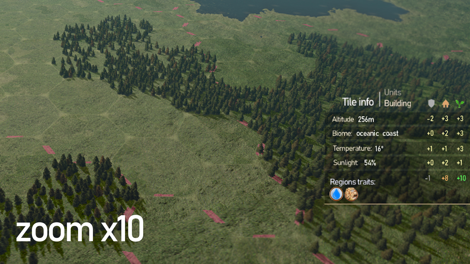
Building params
The terrain attributes are summed in a row and its result value affects overs the differents building params, these parameters are:
- Terrain fertility rate: it's express how easy a civ can work and grow farms.
- Human habitability: it's express how easy humans can survive, grow and rise a colony.
- Defensive value: It´s express how easy a building can resist an attack.
Buildings are still affected by technologies, traits and his own different building formations, but the building params result over each tile are the basic values. Also, all params are shown based on the main civilization traits, that is by e.g, if you are playing with a northern tribe you will be more adapted to a colder climate.
World Events (volcanoes, little-ice ages, droughts...)
Roughly in BoC you will feel how the Ice age gives way to more temperate values, This will cause the sea level will rise and floods the low altitude tiles, and the ice goes to recede, but there are some world events that could affect the main climate change model.
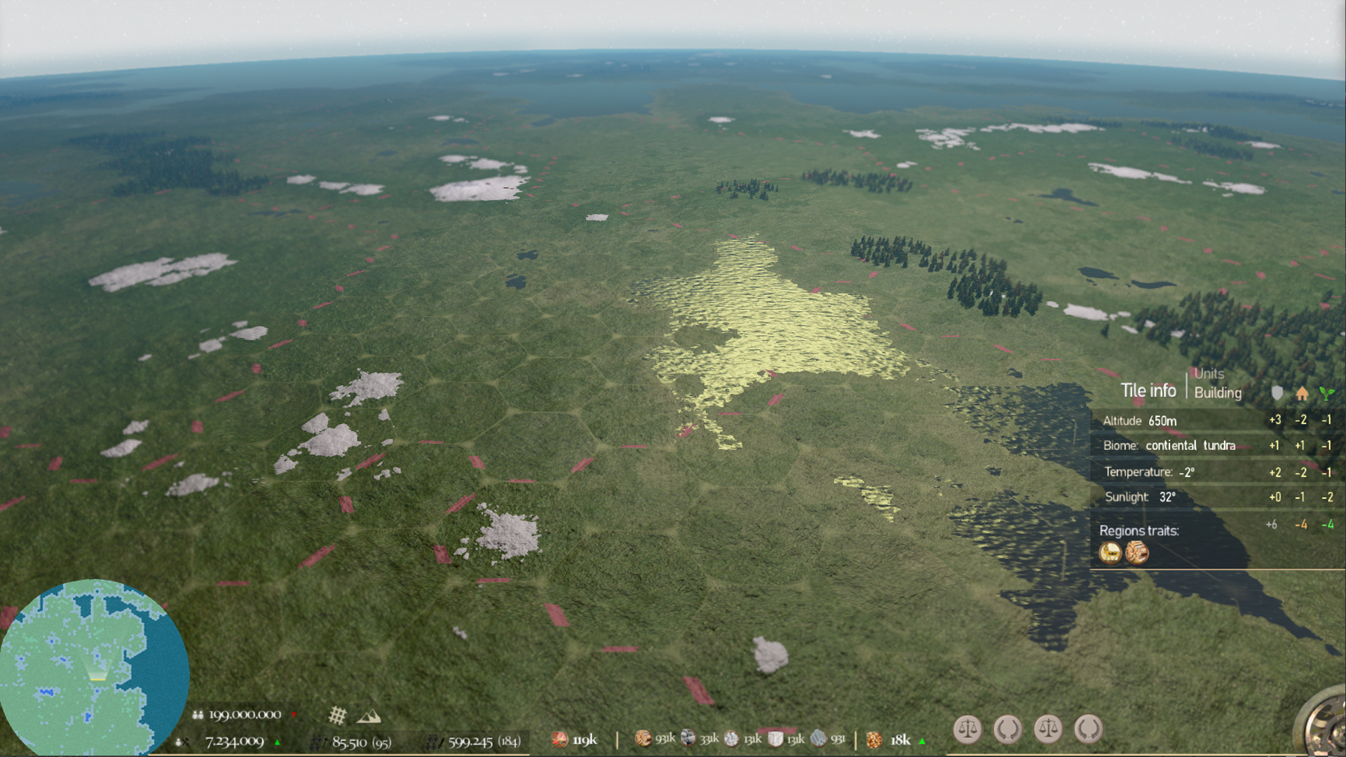
World events like volcanoes, little-ice ages or droughts will affect the main climate model, and in the end to the main terrain attributes.
Region traits (region bonuses):
Also, each terrain tile inherits all bonuses from his region hierarchy (Sub-region, region and meta-region), so for example, If the region hierarchy has a plentiful source of freshwater it will be active over the terrain tile and it will bring some extra bonuses.