Dev Update | Introducing Region 3 & Demo Progress
Hey folks, Thanks so much for your patience while we ran a bunch of playtests and have been prepping for a Demo launch. Our plan is to launch the Demo soon, we still need to do a bit more testing and as soon as it's ready we'll make sure we shout about it everywhere. For those of
Hey folks,
Thanks so much for your patience while we ran a bunch of playtests and have been prepping for a Demo launch. Our plan is to launch the Demo soon, we still need to do a bit more testing and as soon as it's ready we'll make sure we shout about it everywhere.
For those of you who did jump into our playtests, we wanted to say a big thank you, your feedback has been critical to us continue to shape Deadstick.
We will be we FsimUK on October 10 & 11 where attendees will be able to get hands on with Deadstick set-up with a Flight Sim rig.

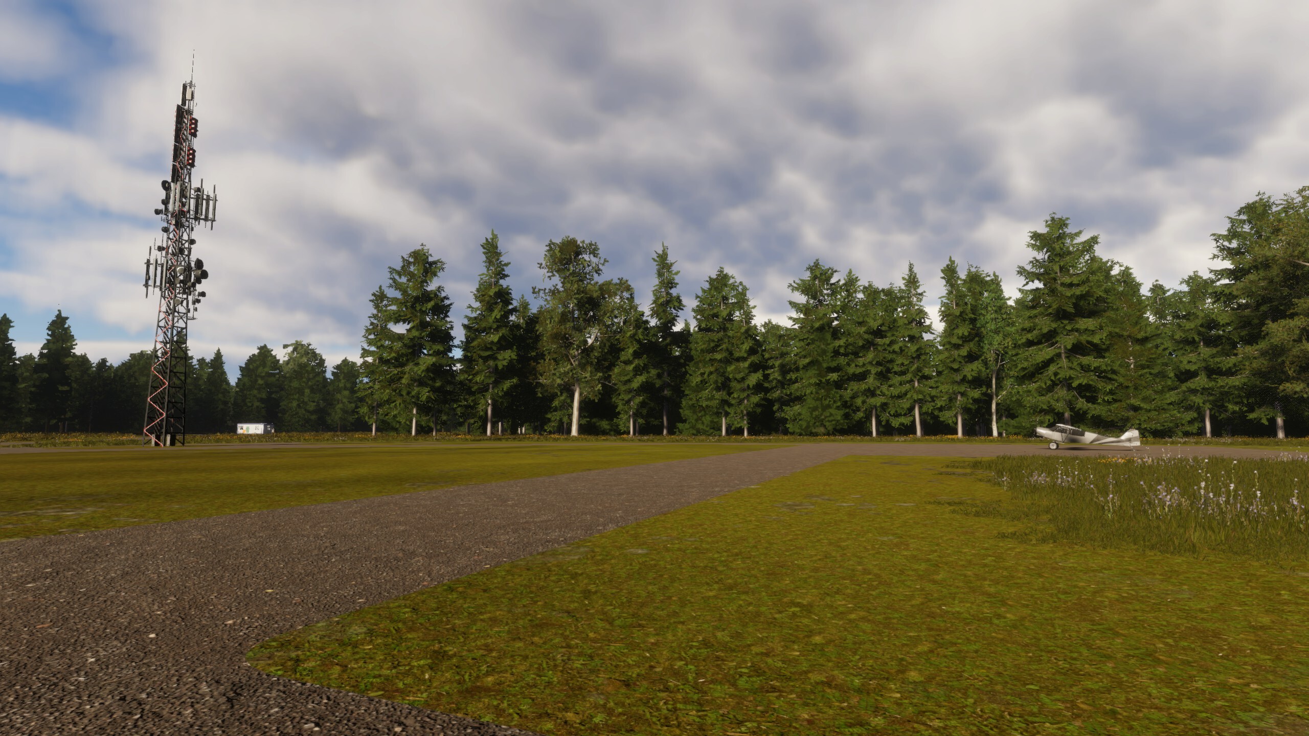
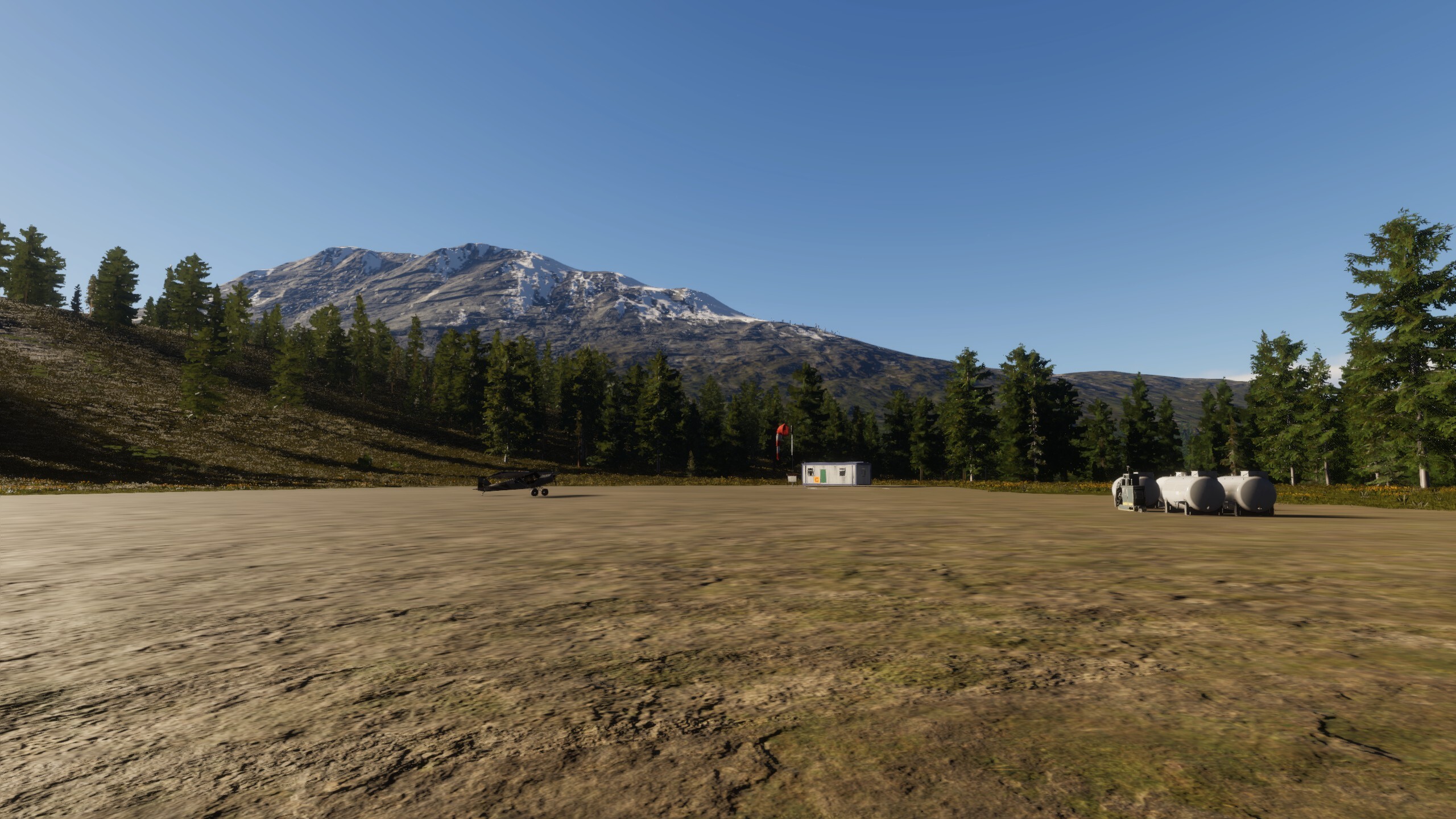
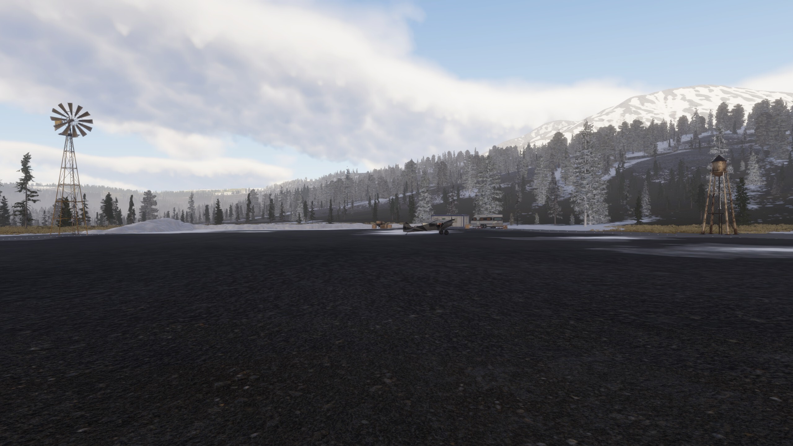
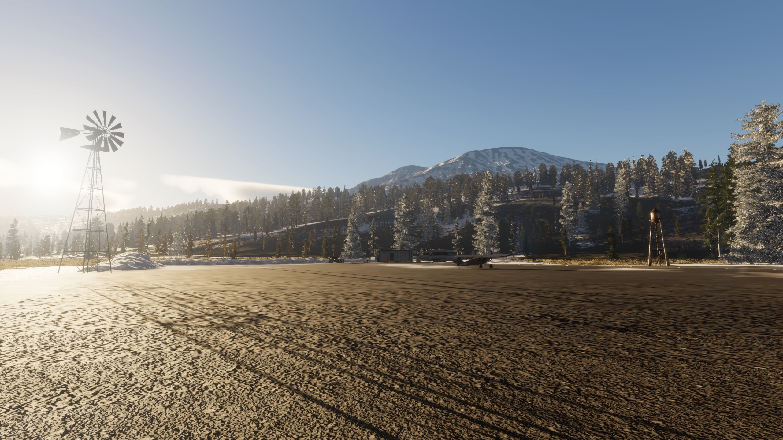
Next up we'd like to introduce you to Region 3 - we have our previous looks at Region 1 (Waking) and Region 2 (Redshore), so let us talk about Riverine.
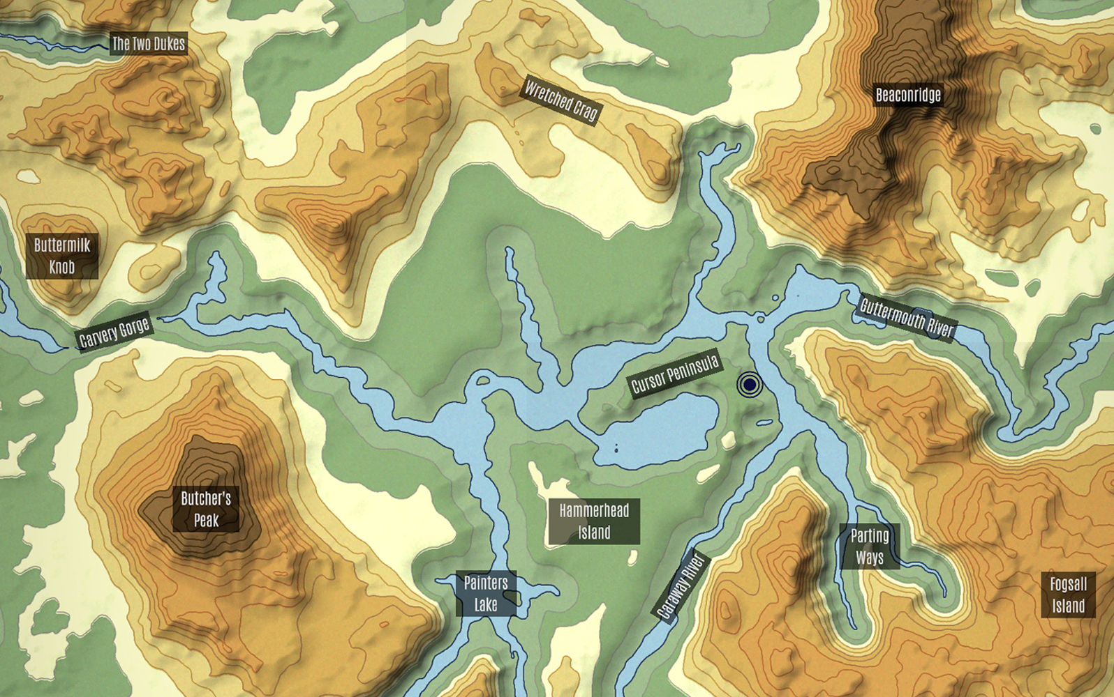
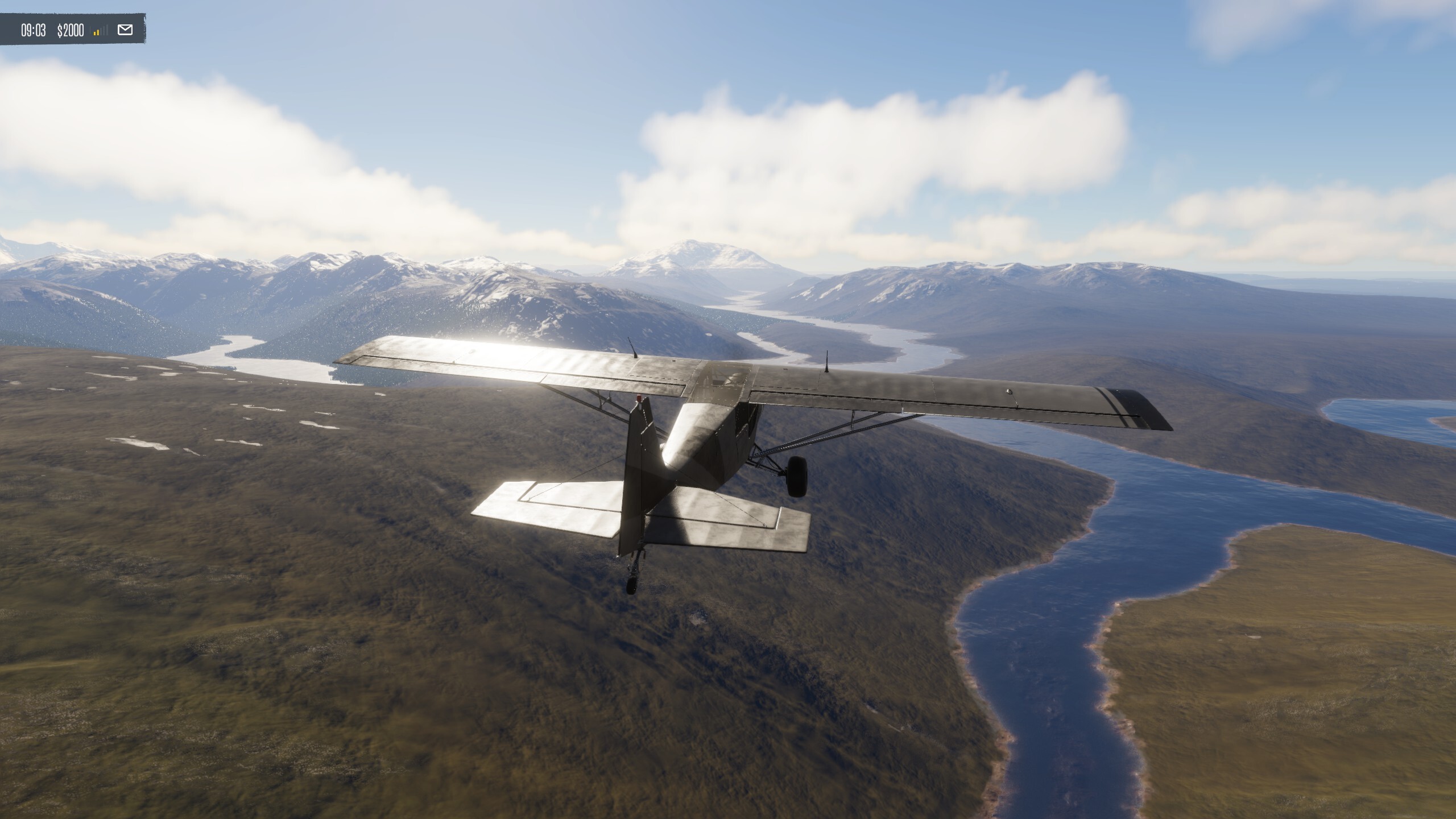
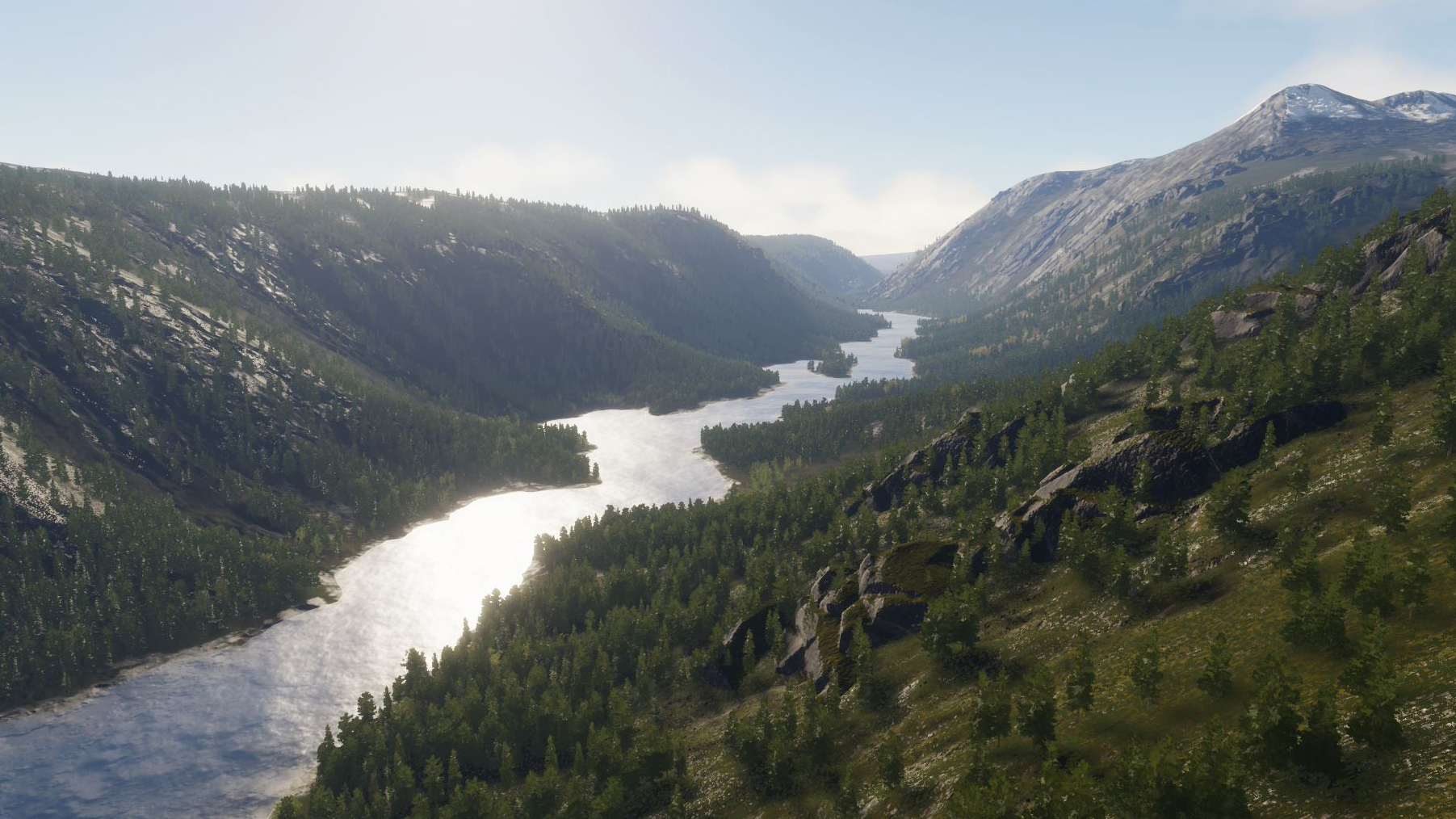
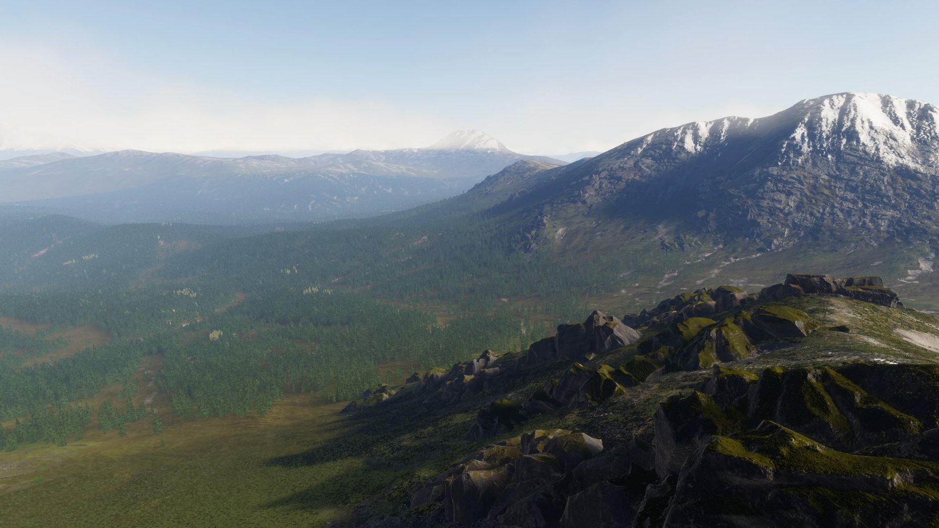
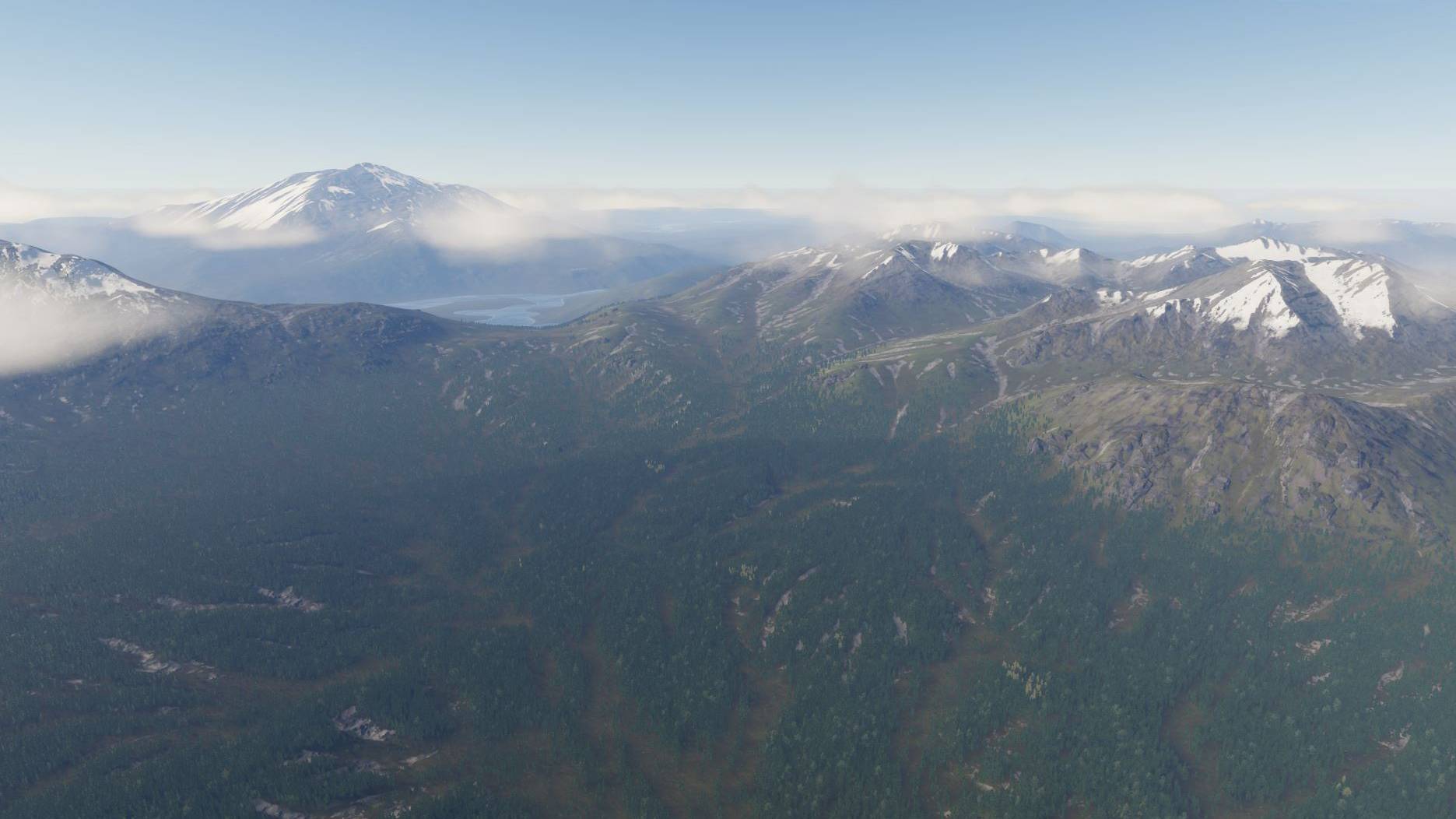
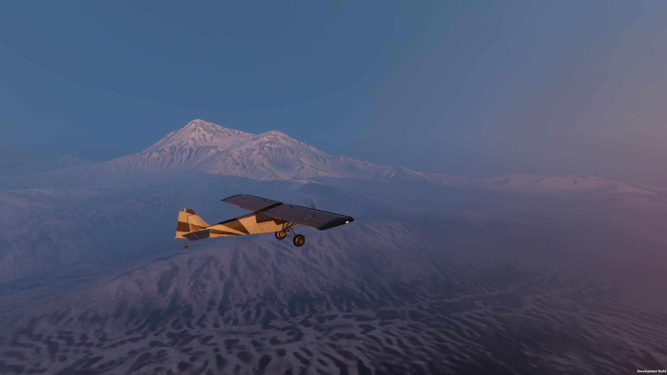
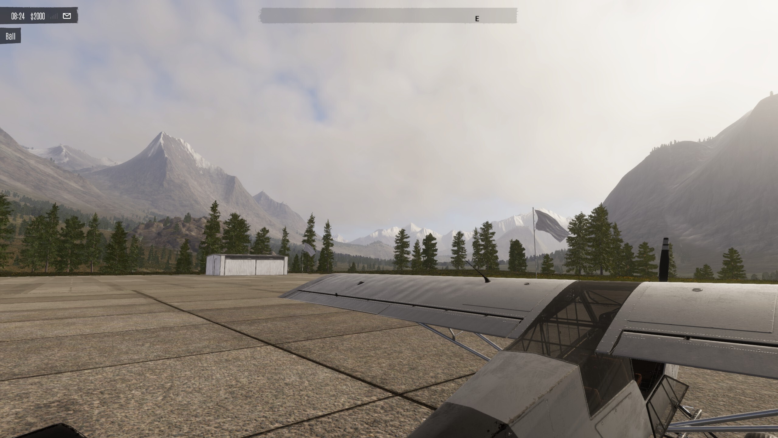
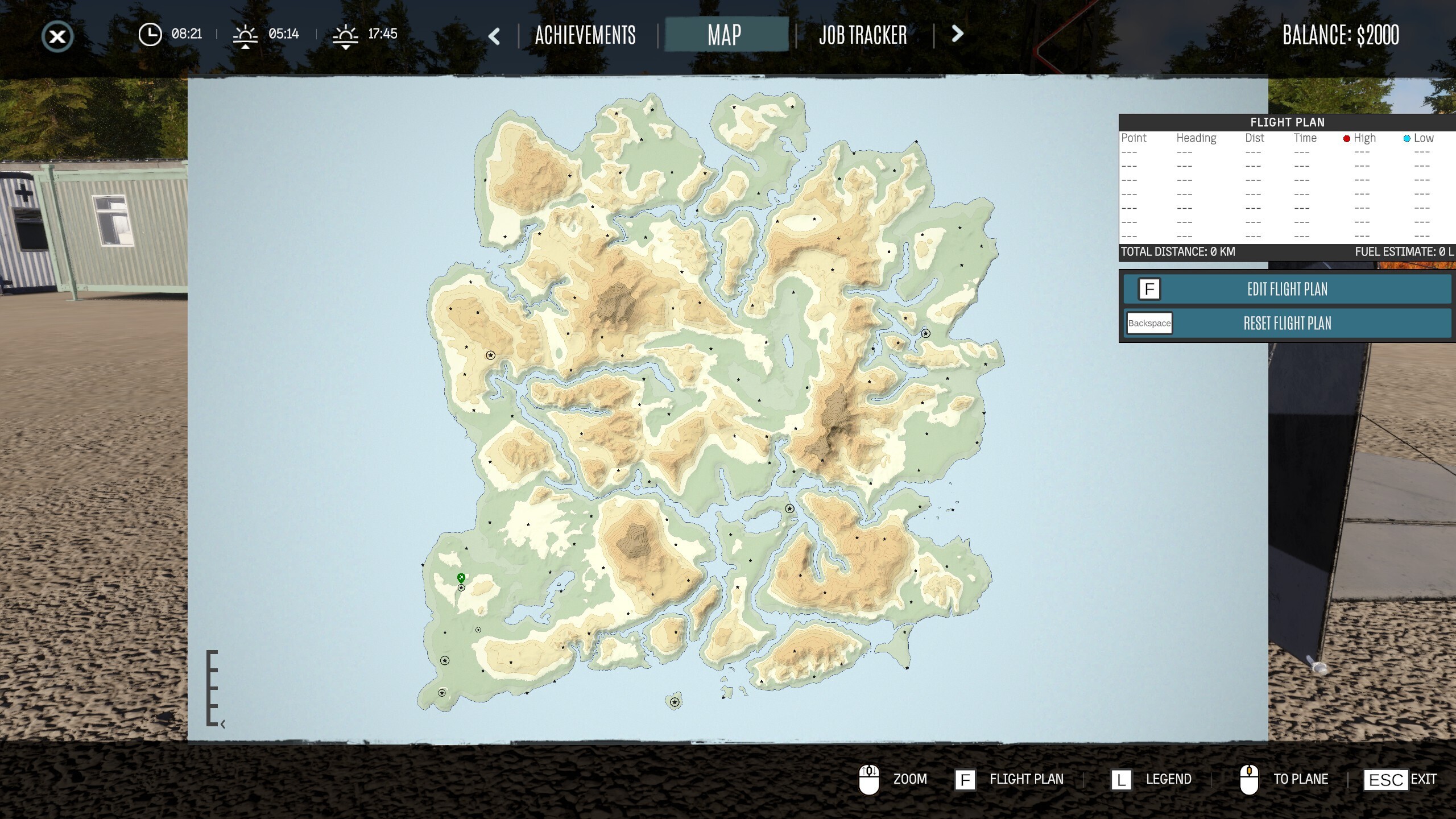
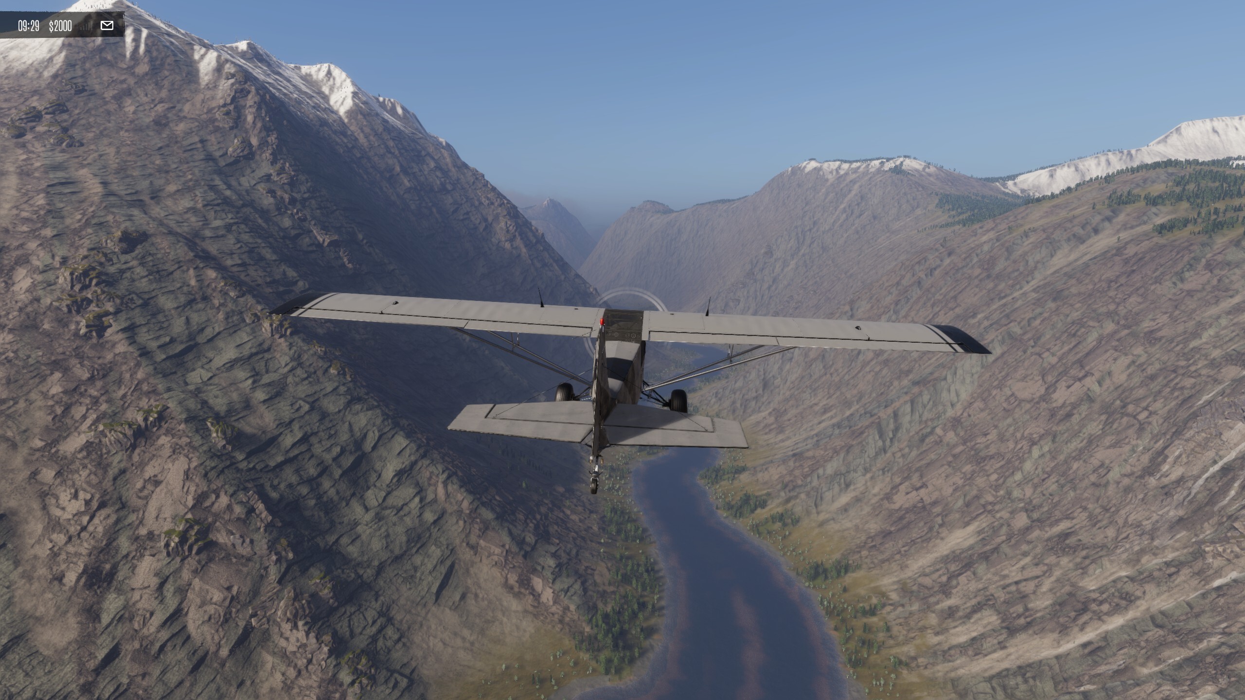
Riverine occupies the heart of the Island’s southern half, nestled in a basin between some of the island’s tallest mountain ranges. Surrounded by Redshore to the south and east and Waking to the west, this lush central region forms a natural crossroads for pilots travelling between the warmer, more hospitable southern biomes and the harsher wilderness beyond the mountains to the north.
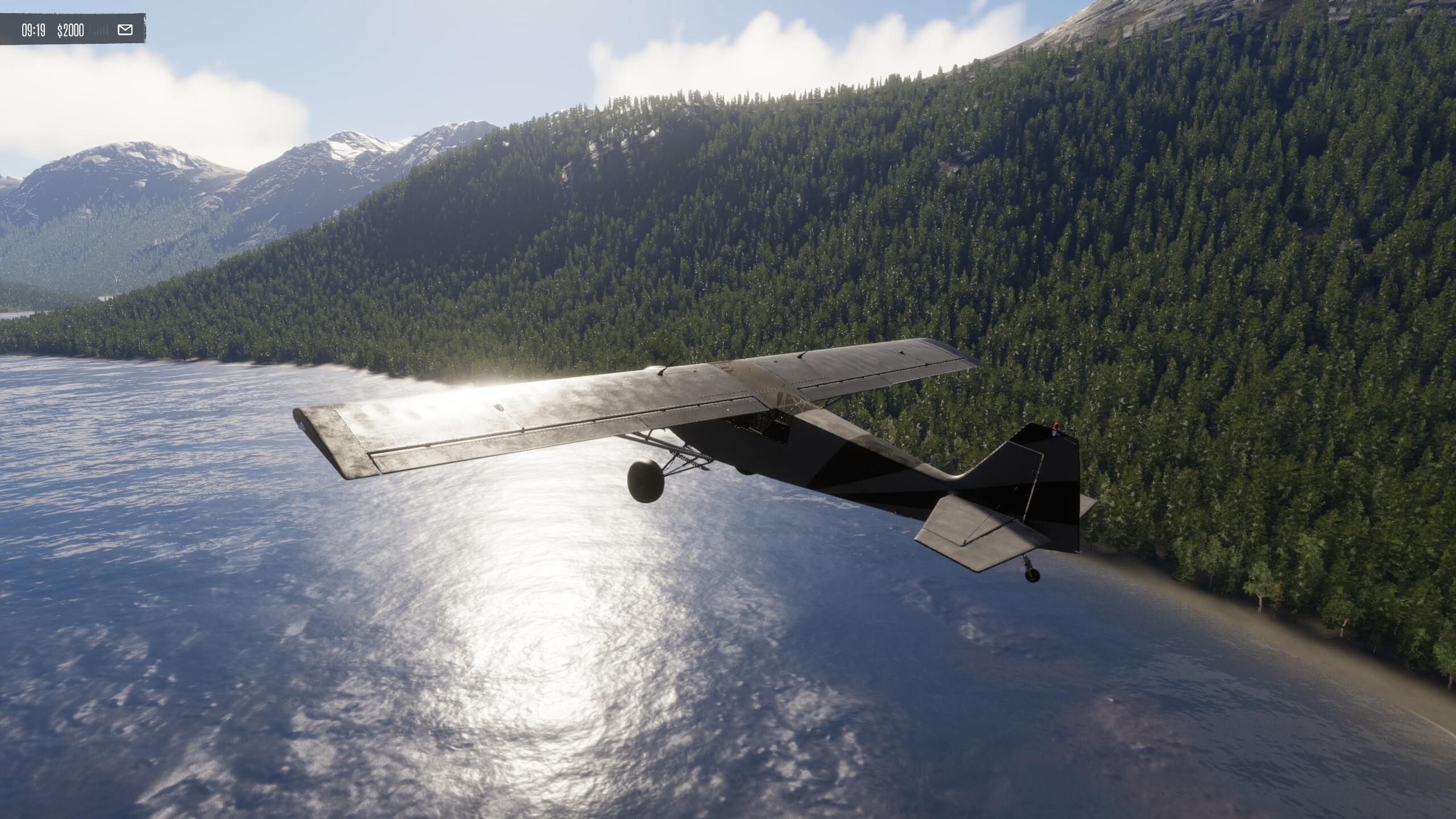
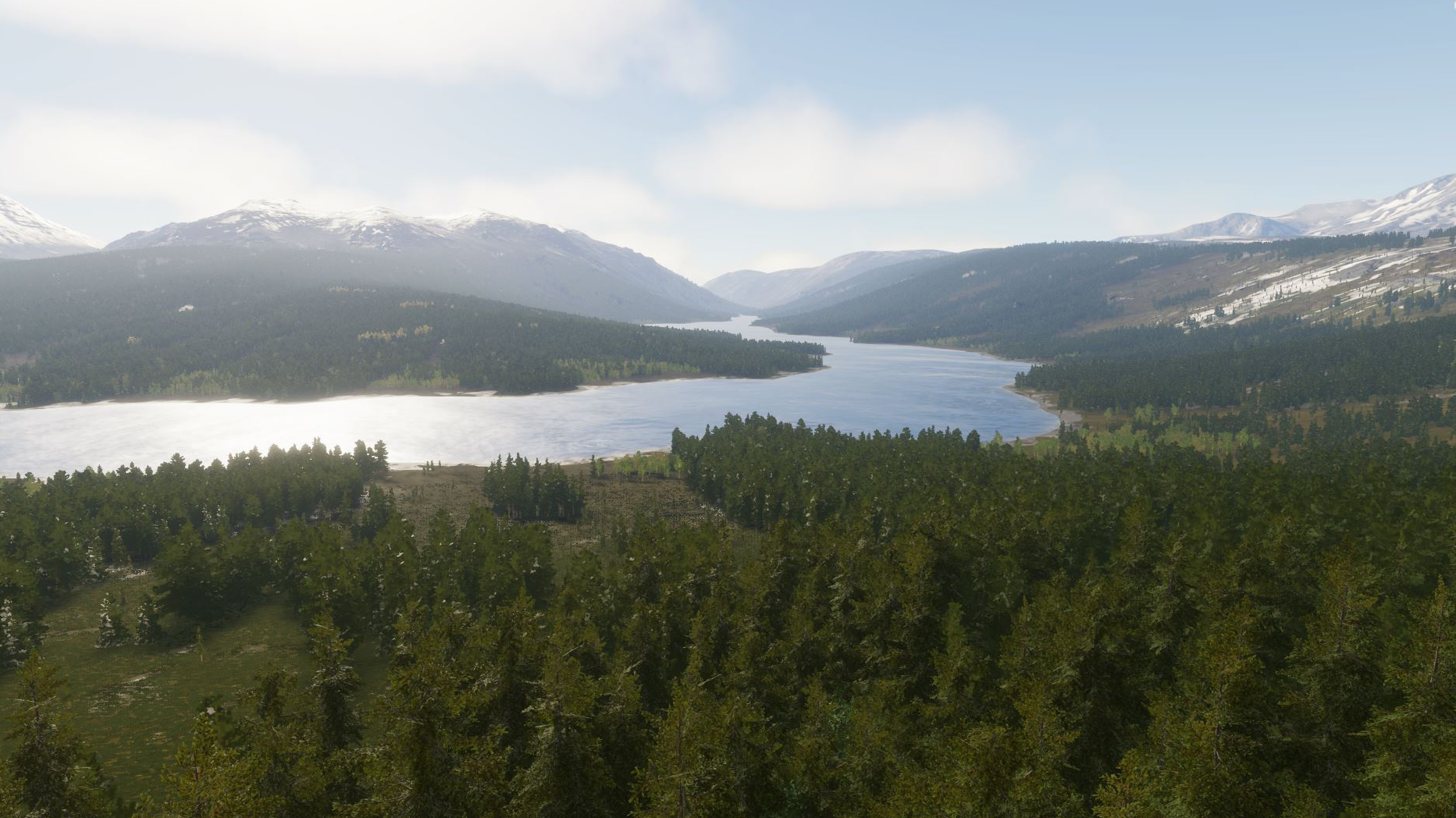
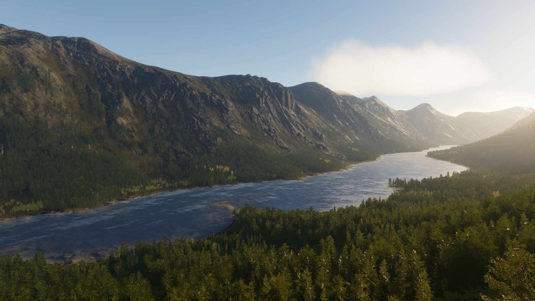
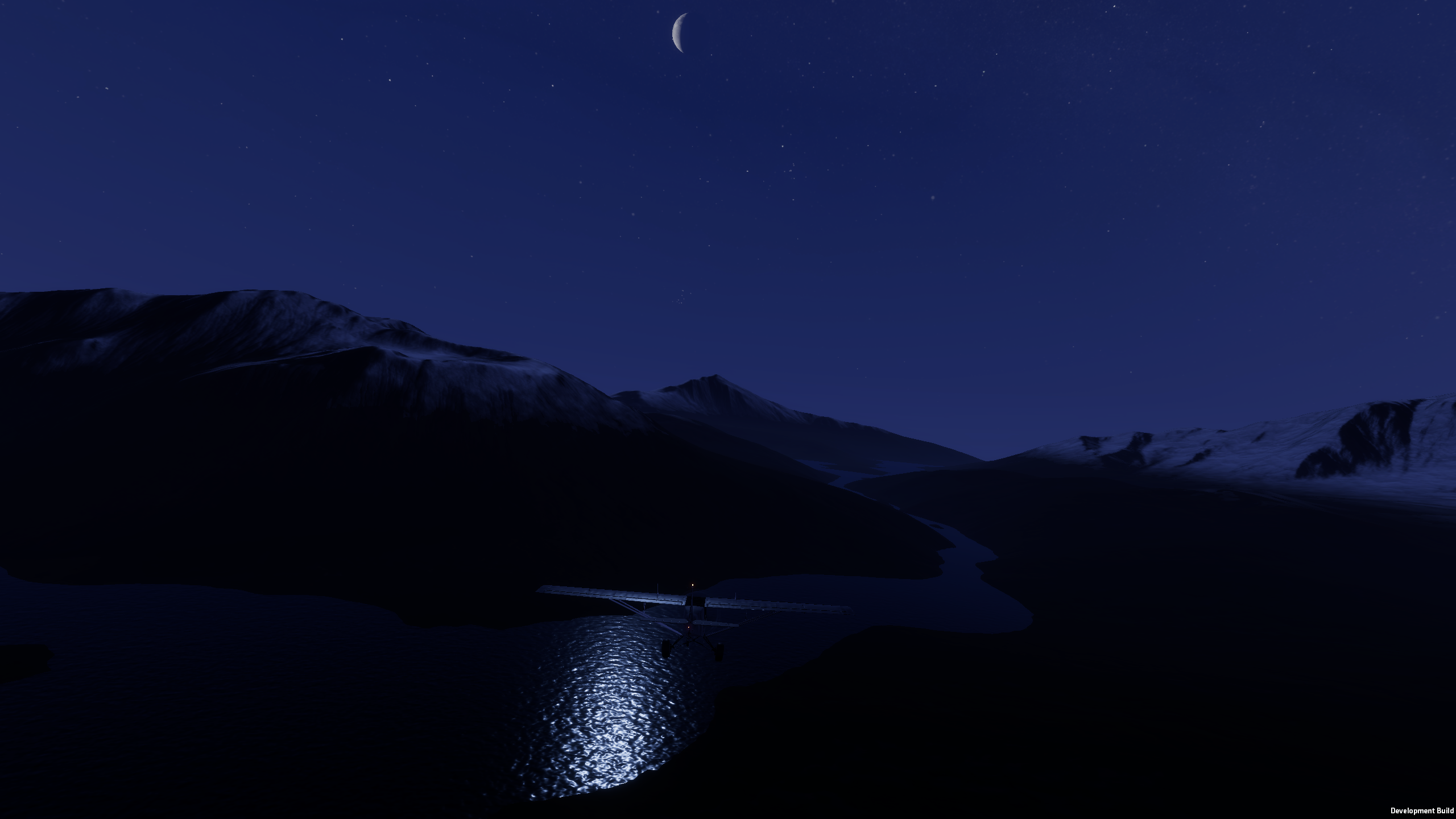
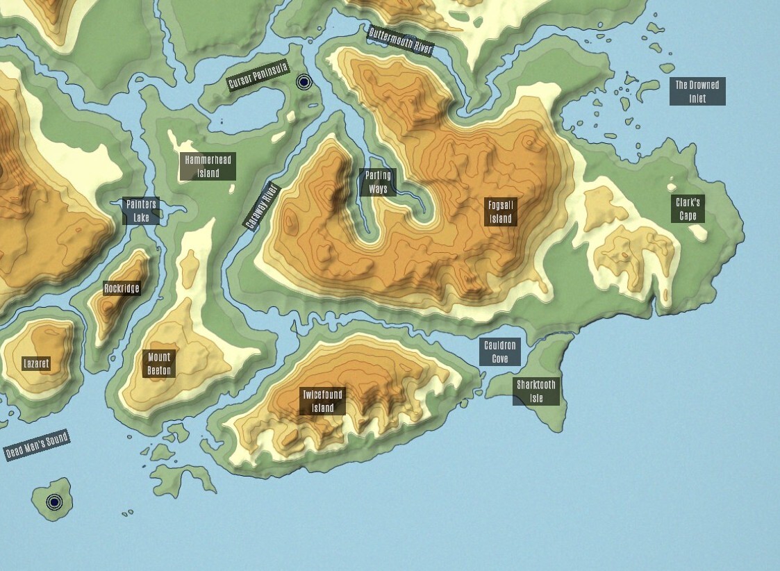
This is a landscape carved and defined by water. Rivers, lakes, channels, and winding waterways cut through the valley, creating a patchwork of wooded hills, fertile lowlands, peninsulas, and small islands. At the centre of it all lies Hammerhead Island, home to Eastell, the seat of the islands government and the region’s only major airport.
Eastell rests at the threshold of the Cursor Peninsula, on the banks of the Caraway River as it flows north from Redshore. As the river reaches the heart of the region, it gives way to a complex network of waterways, including the Guttermouth River. Follow its currents and you’ll find Guttermouth Fork, a well-travelled shipping checkpoint for cargo moving inland, before the river continues past Darnbrough and spills out into the Drowned Inlet.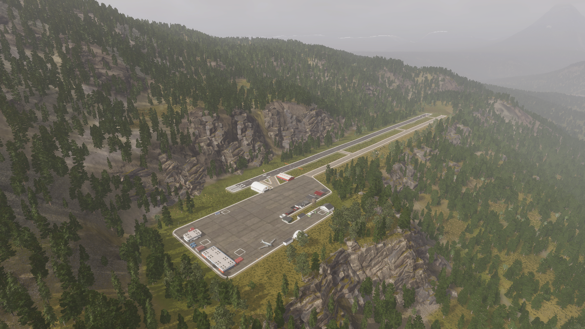
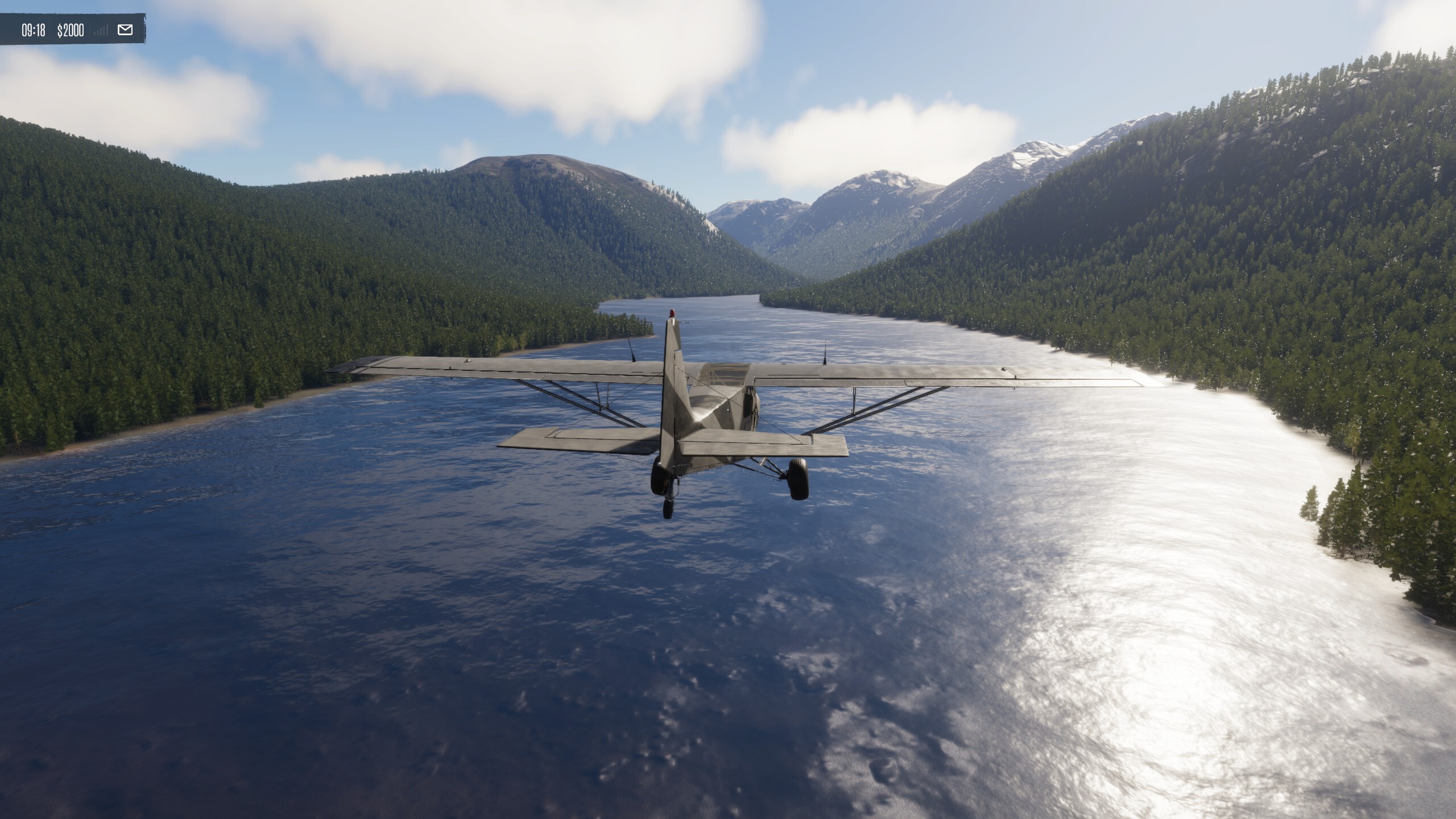
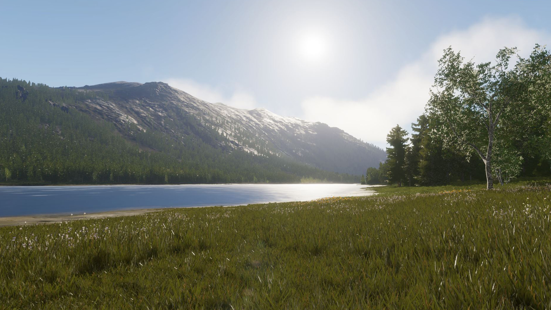
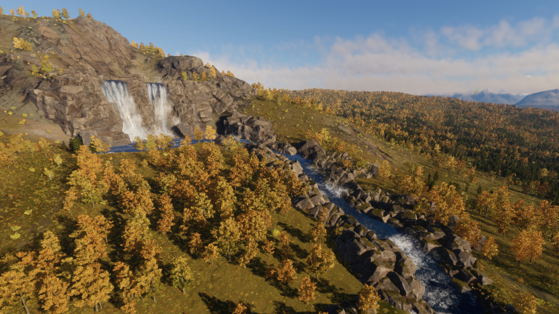
Southwest of Eastell, the breathtaking Painter’s Lake provides another of Riverine’s defining landmarks. Its waters feed a river that runs alongside the imposing slopes of Butcher’s Peak before escaping the basin through Carvery Gorge and visiting the Three Brothers on the northern limits of Waking. Even when surrounded by towering mountains, there is almost always water somewhere on the horizon.
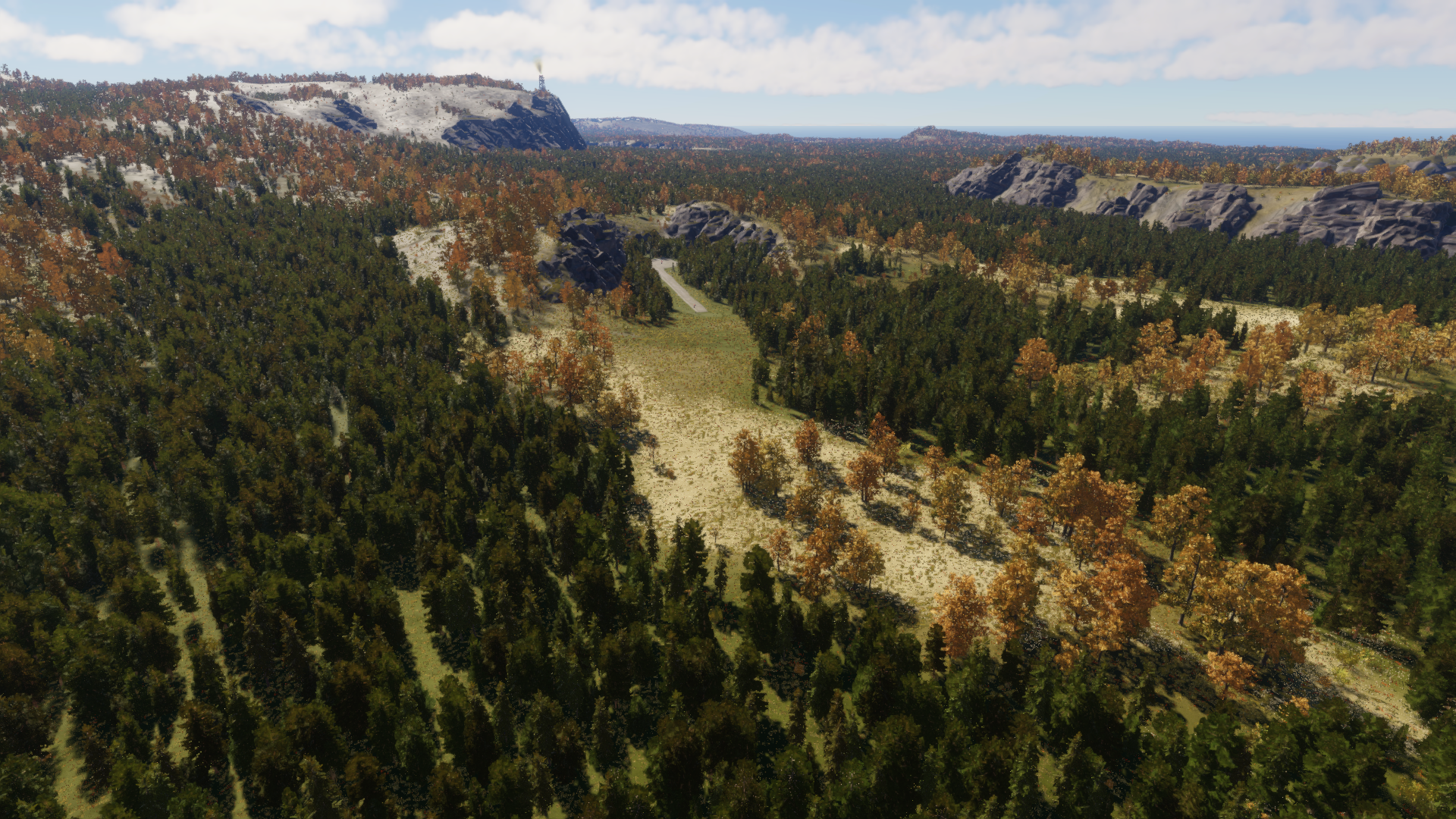
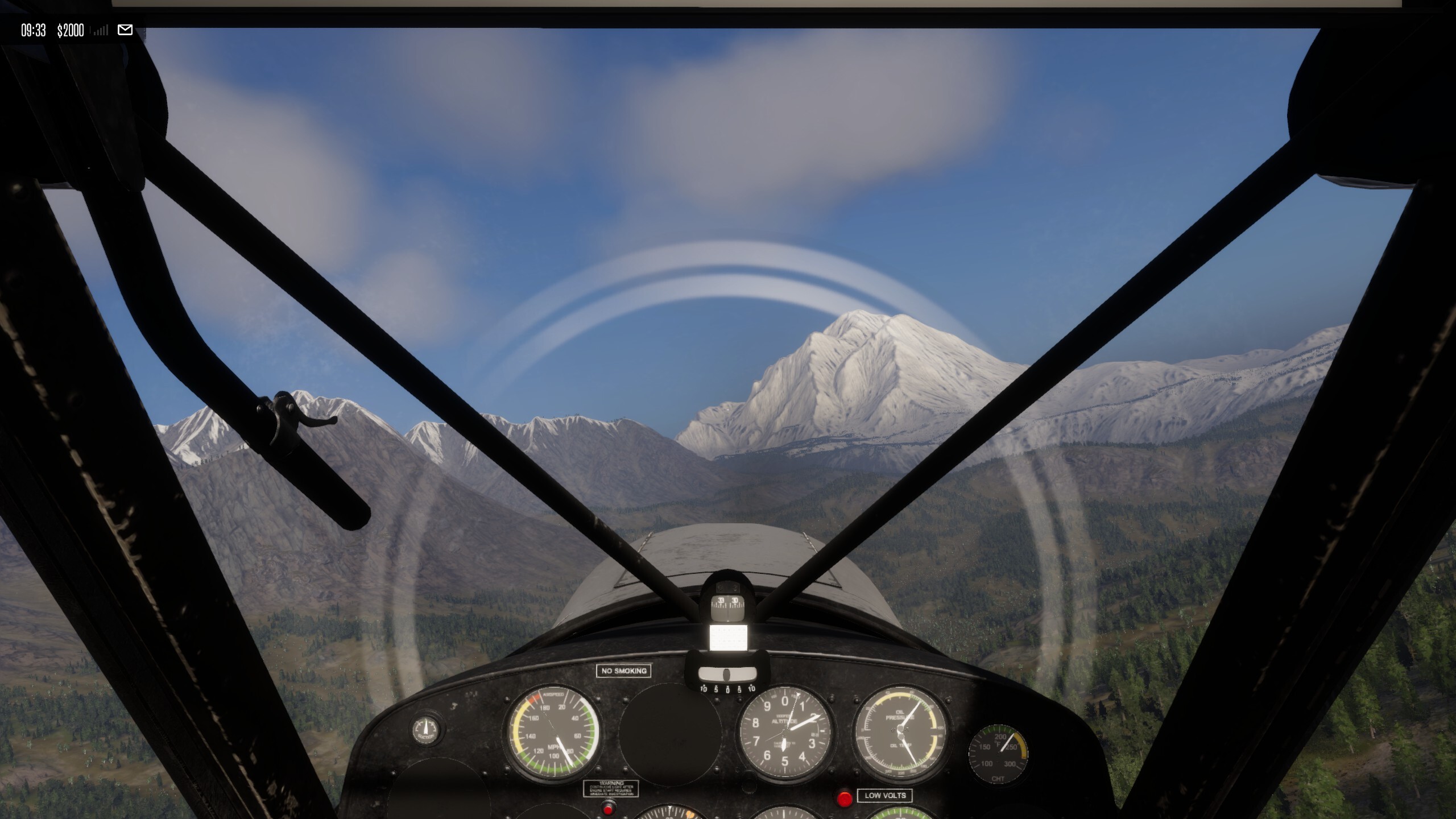
Butcher’s Peak rises prominently along the western edge, separating Riverine from Waking, while Beacon Ridge and the Wretched Crag form a formidable northern barrier. Beyond them lies the beginning of the islands more hostile territories– the Silent Span and the wider Barrens, waiting for only the most daring bush pilots. After reaching Eastell, this region serves as an effective central operating area from which pilots can branch out into the surrounding areas.
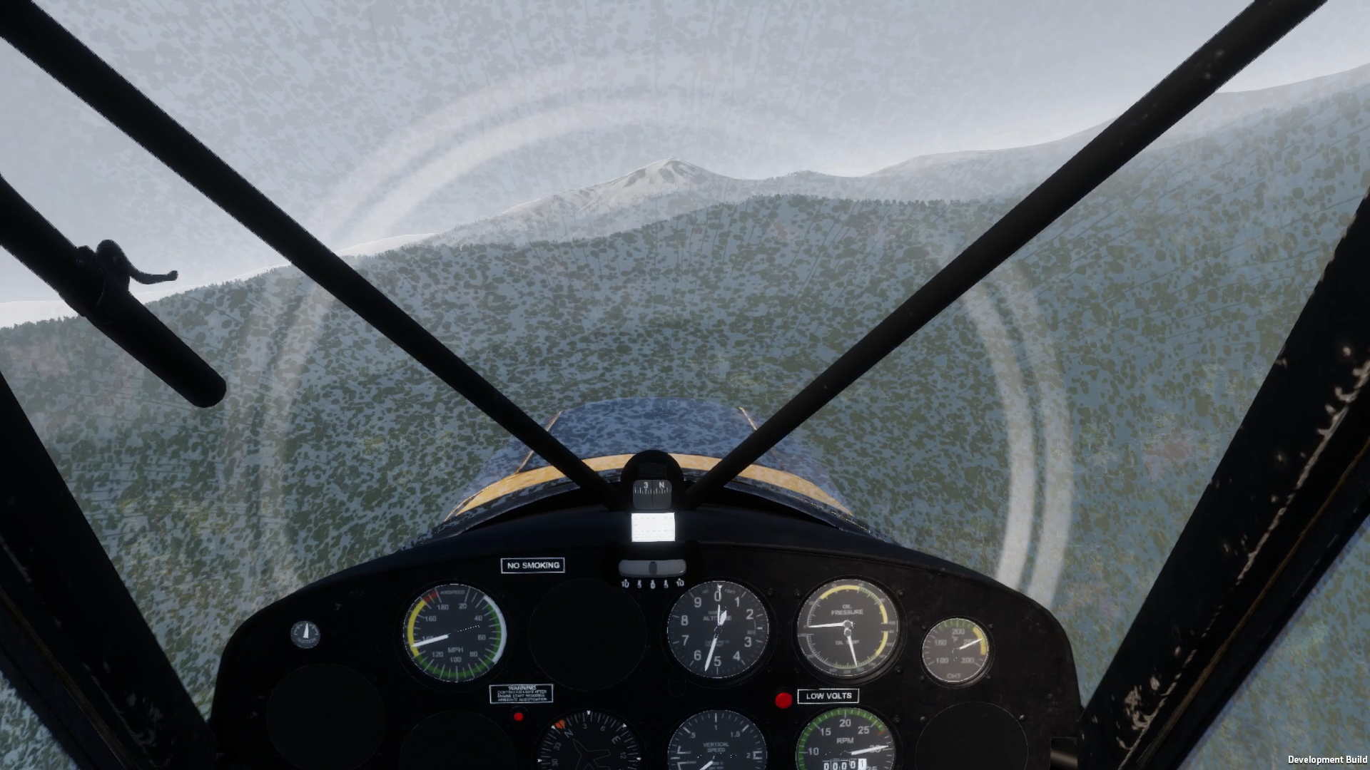
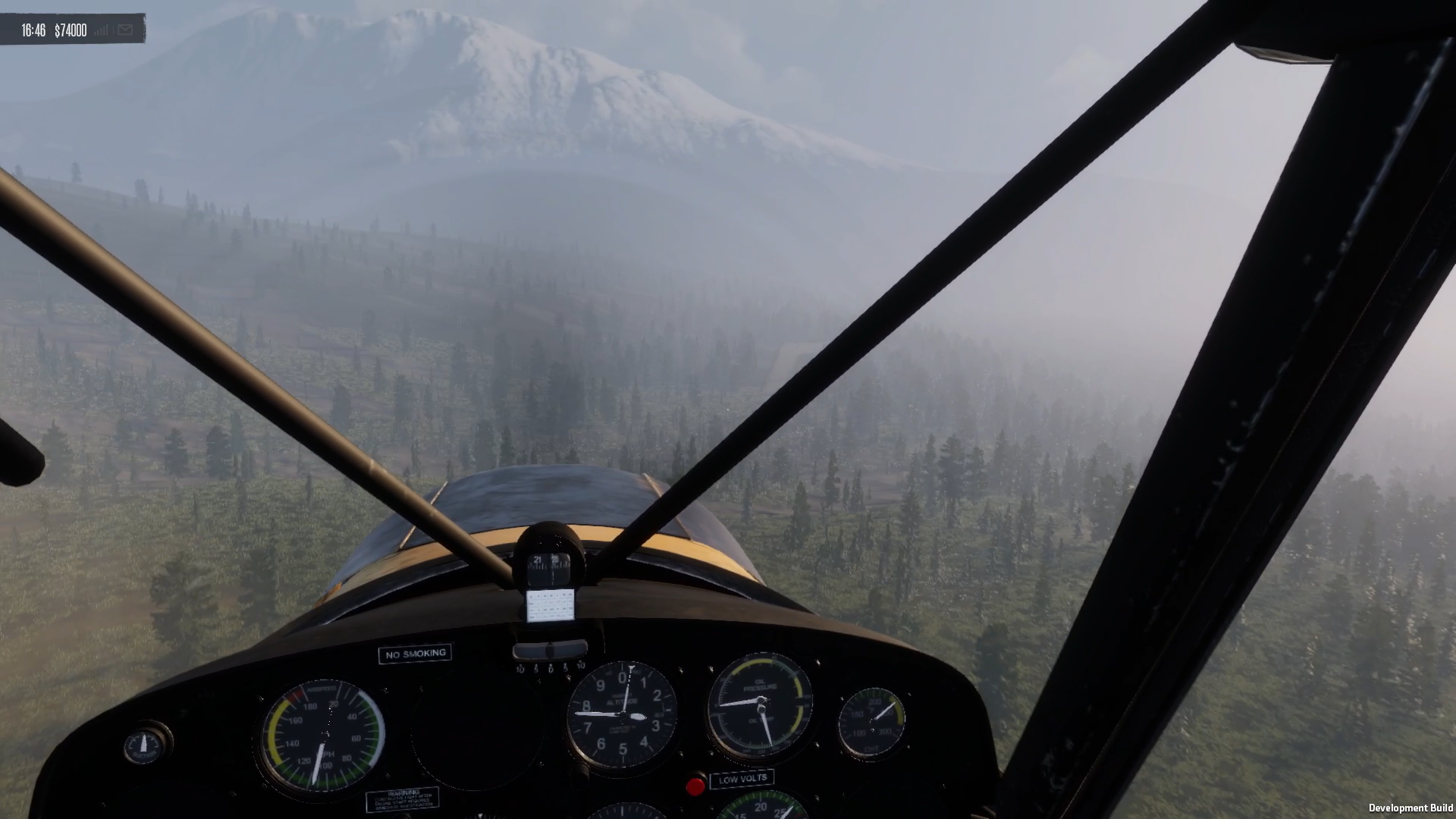
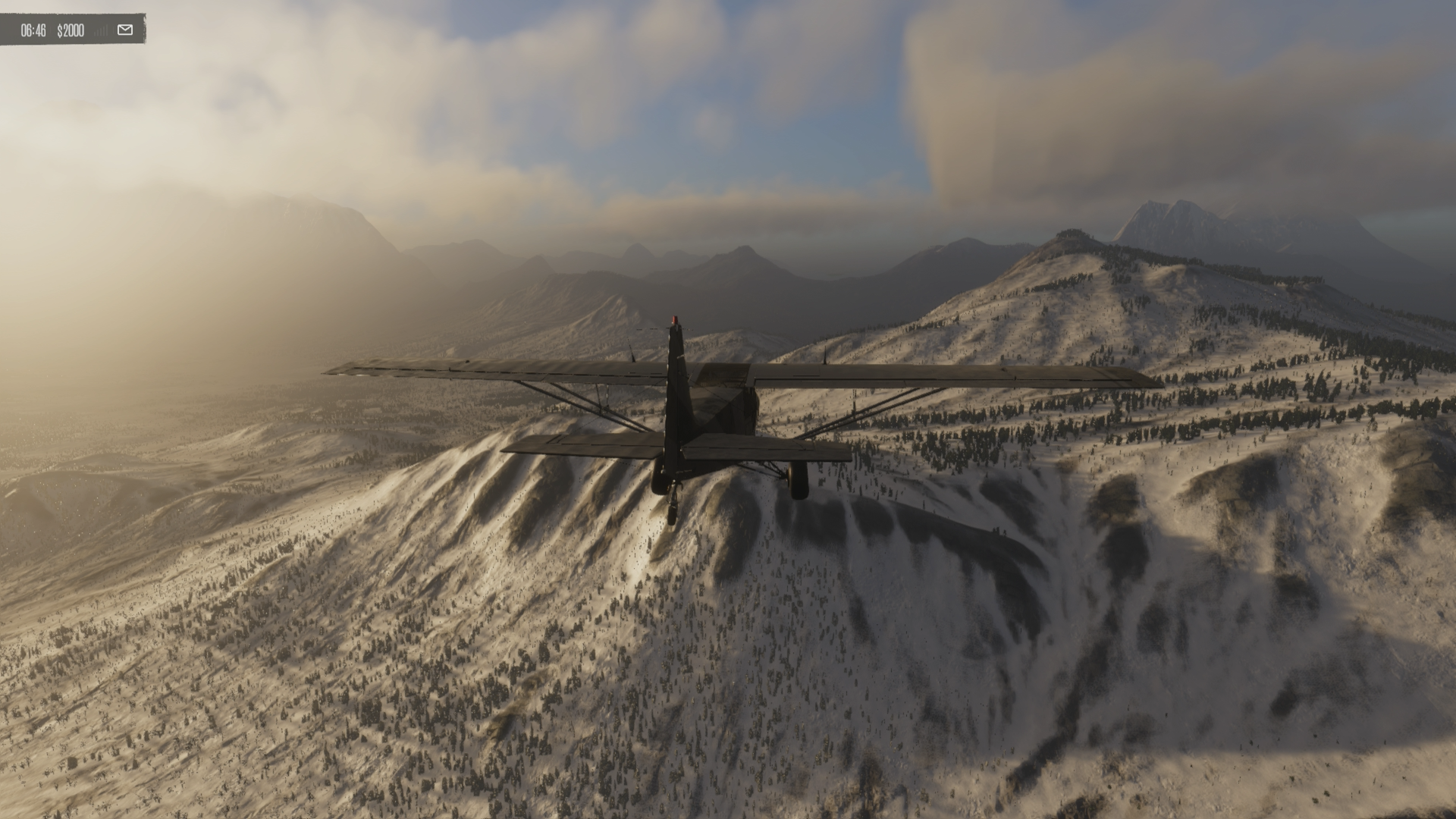
Riverine is not immune to the islands increasingly unpredictable weather. The surrounding peaks create an enclosed weather system, with rainfall and heavy cloud cover common throughout the region. Morning fog is particularly characteristic, settling deep into the valleys and taking longer to burn away as the sun slowly rises above the ridgelines, turning familiar routes into challenging navigational exercises.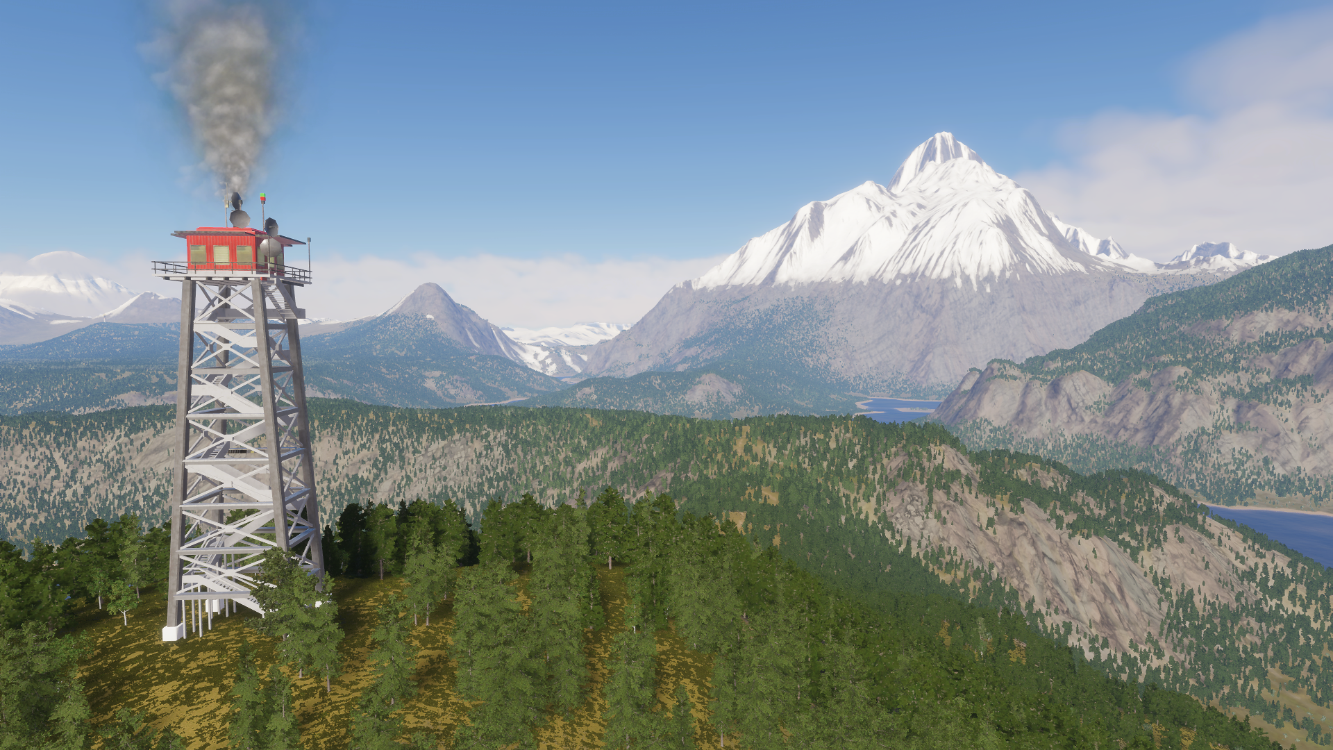
Eastell is perhaps the best example of Riverine’s turbulent weather. As the seat of the island’s governor, it is “where aviation meets legislation,” but it also holds the island record for lightning strikes, having been struck 23 times in a single day during the Storm of ’78. The weather may be beautiful here, but it has a reputation for reminding residents exactly who is in charge.
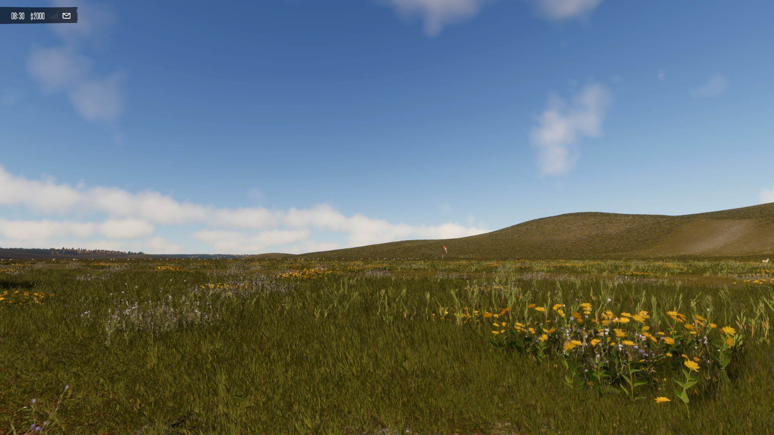
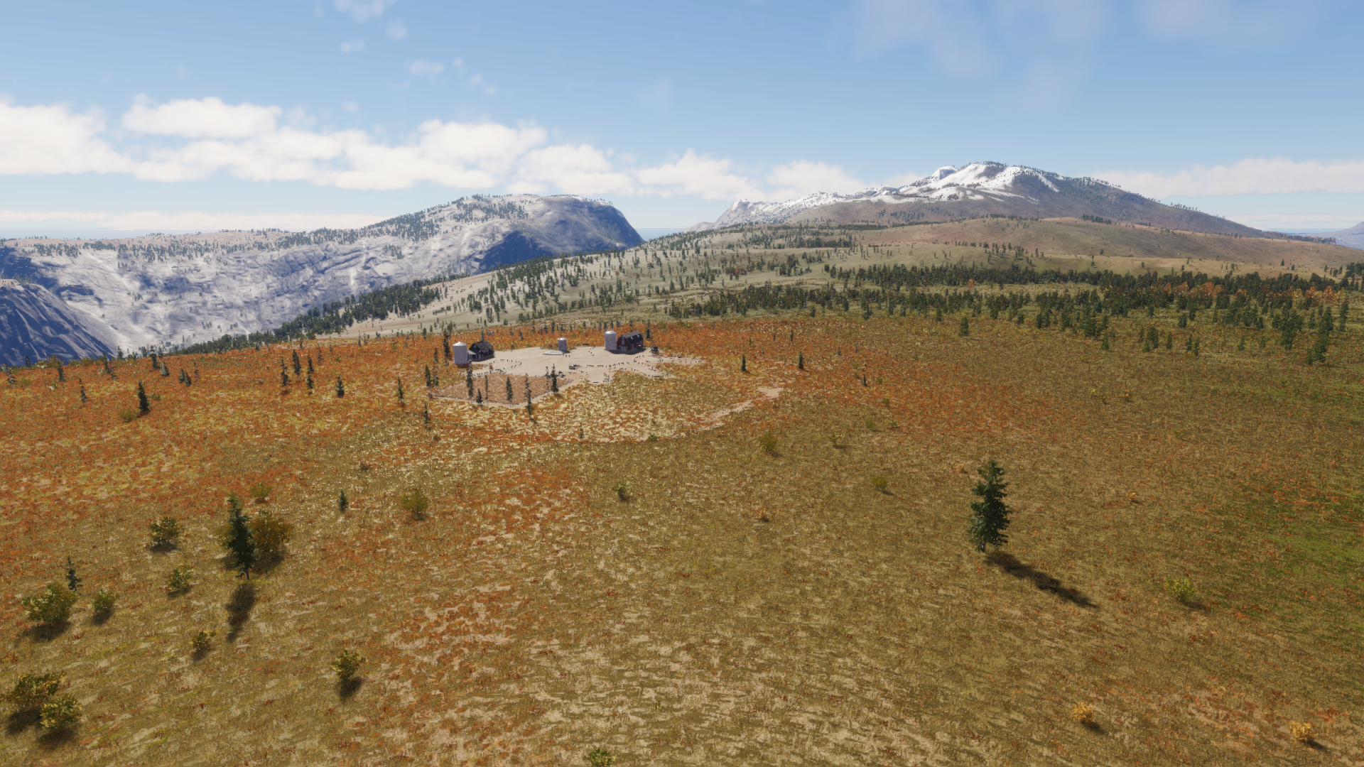
Human activity is widespread throughout the region. Farms, ranches, mines, mills, airfields, and country estates take advantage of the relatively fertile land and sheltered conditions. Murky Green supplies bulk grain to farms throughout Riverine, while Turnpike Farm specializes in cold-hardy livestock breeds. Duffill Ranch was established by an ex-logger who decided that raising livestock was safer than felling trees, while Knob Valley Farm began life as a supply stop for early overland routes heading toward Flint.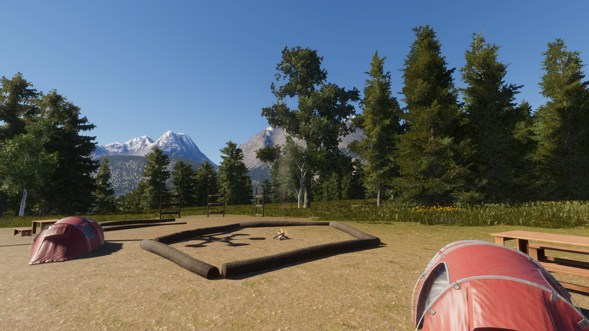
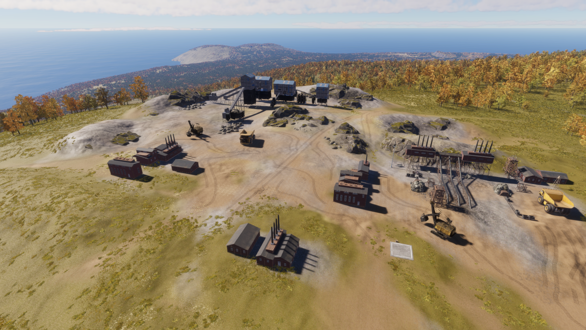
Mining also remains an important part of the region’s economy. The Fogsall Bend Mines operate at remarkable elevations along the surrounding mountain slopes, where workers live by a simple rule: don’t look down. Further north, Payload Mining Company extracts high-grade stone along the spine of the Wretched Crag, while Sprucelands Mill (an obsolete mill still turning out small batches of stone-ground flour) is a holdover from the region’s industrial past.
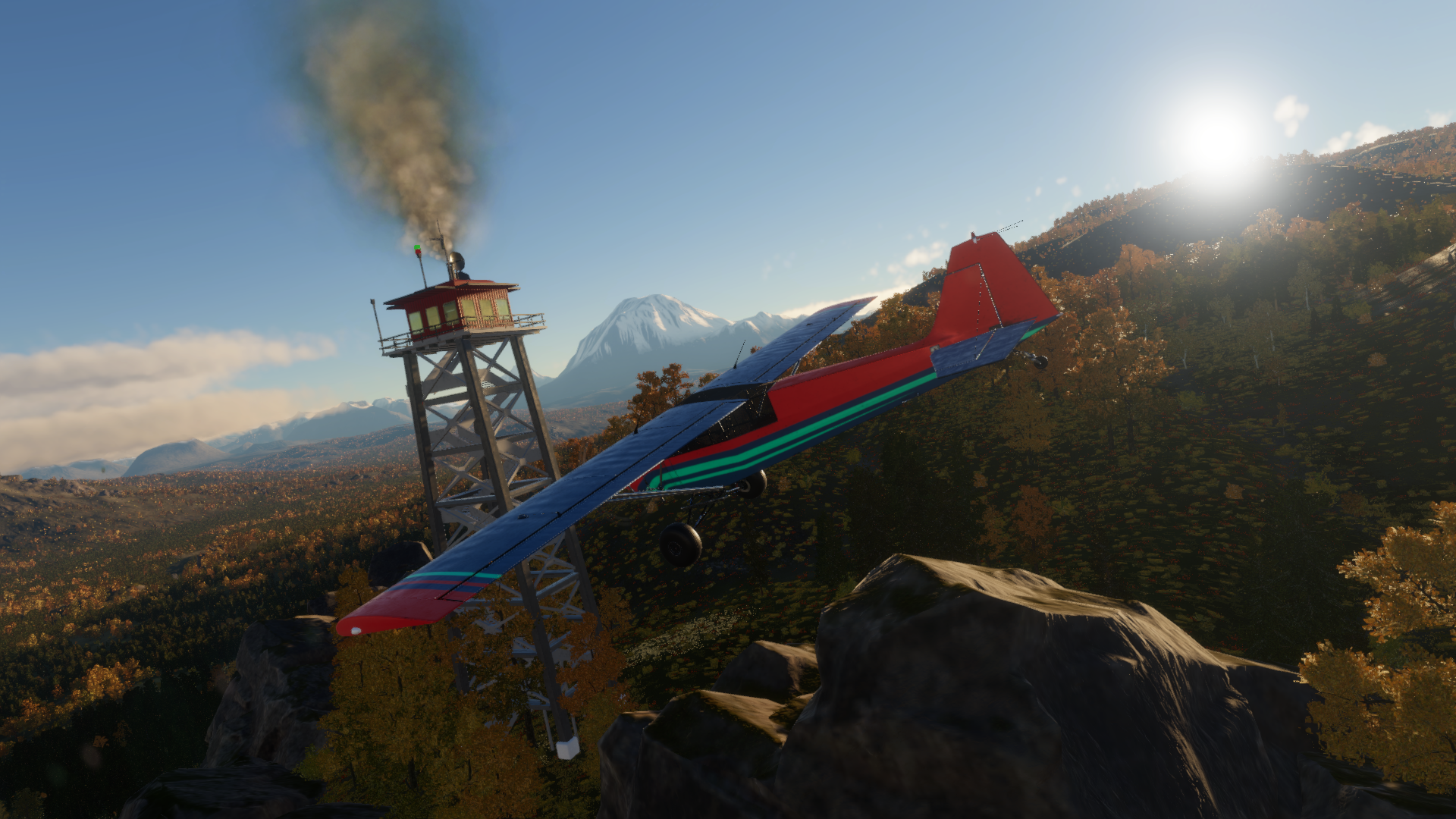
Riverine also has a softer side. Wells Manor, a luxurious country estate occasionally hired out as a wedding venue, sits near the northern edge of the basin. Fisher Airfield provides another link between the region’s scattered communities, while fire towers perched high along the Wretched Crag offer sweeping views over the valleys, particularly striking on foggy mornings, when the surrounding peaks emerge and disappear through the cloud.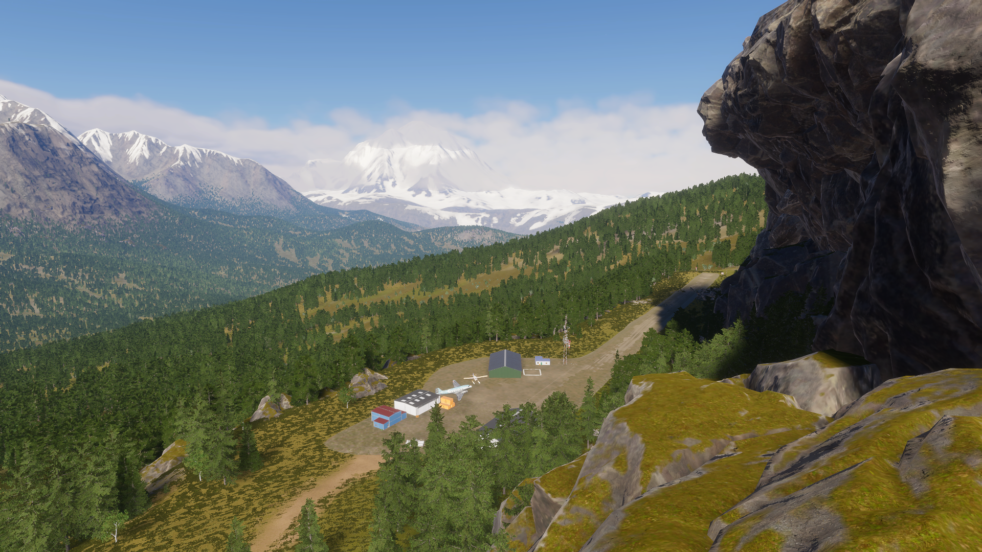
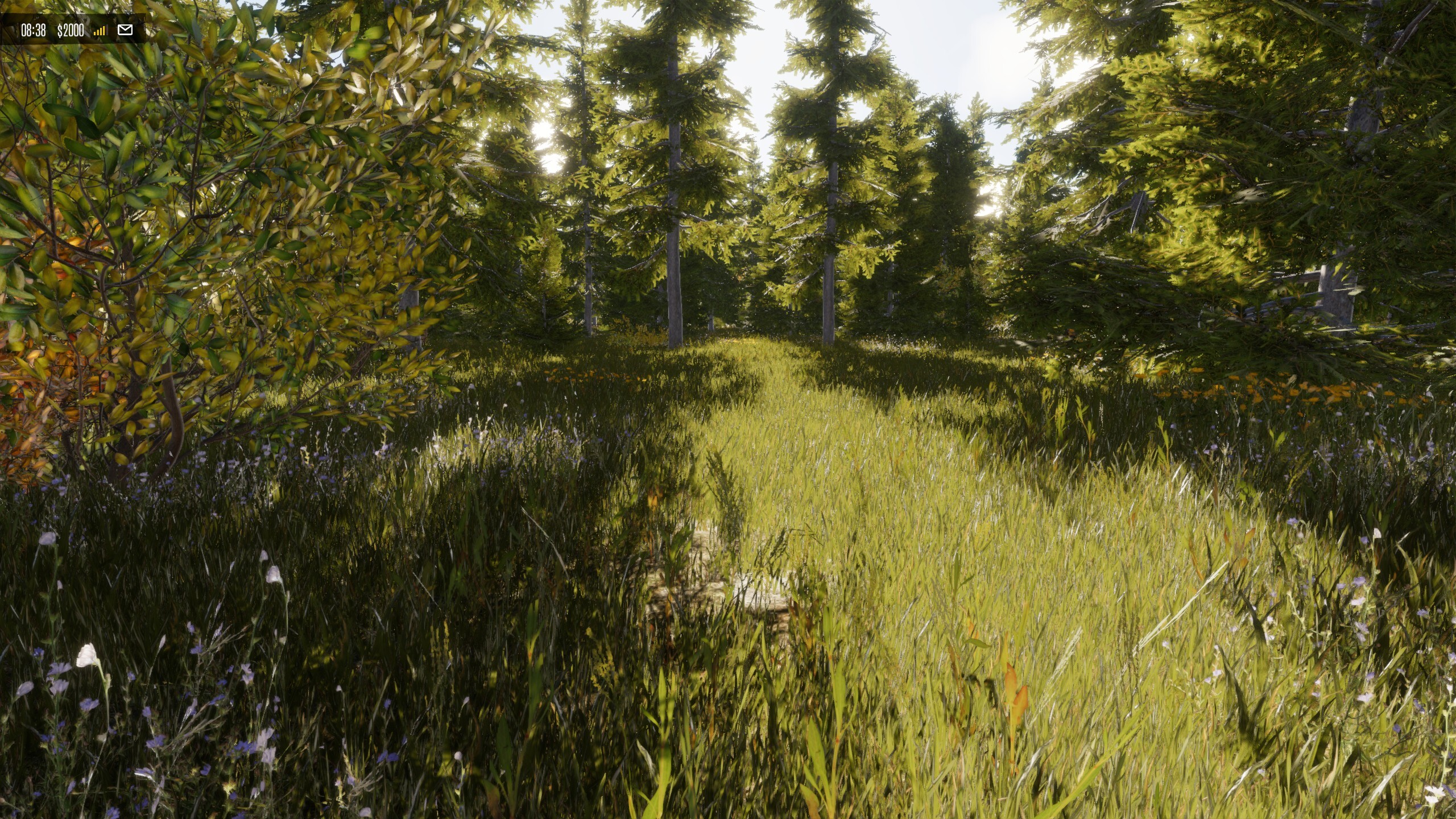
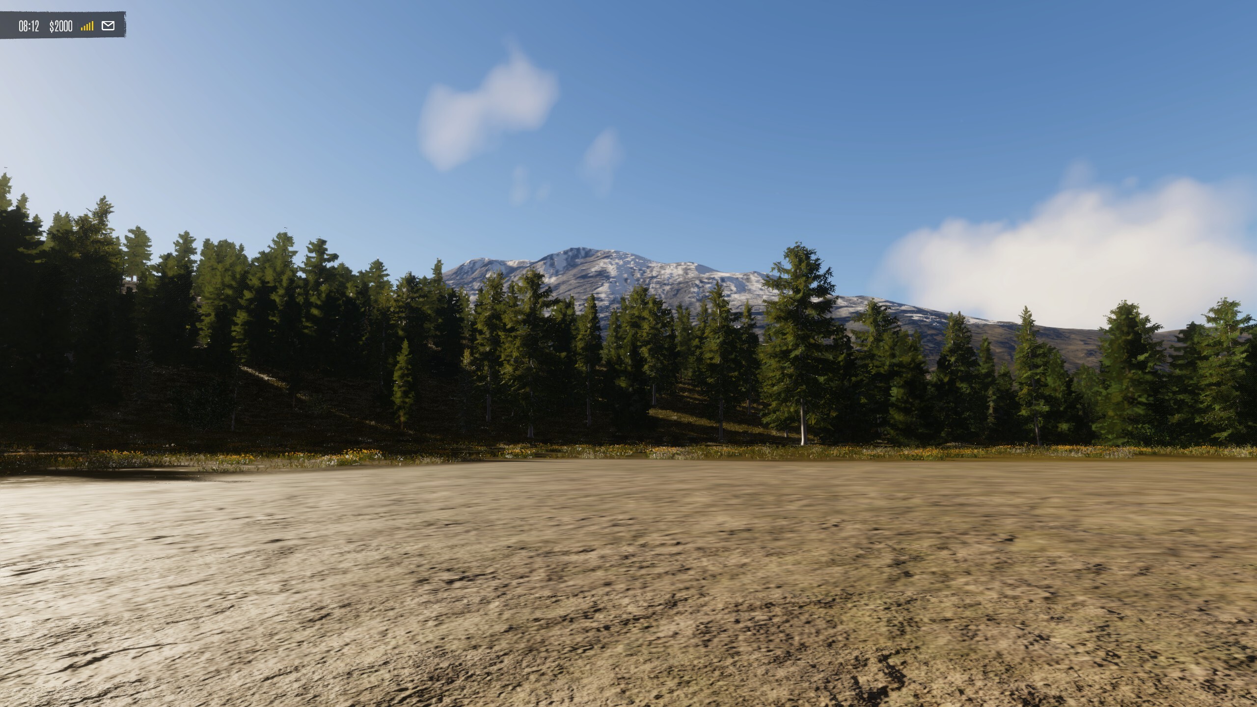
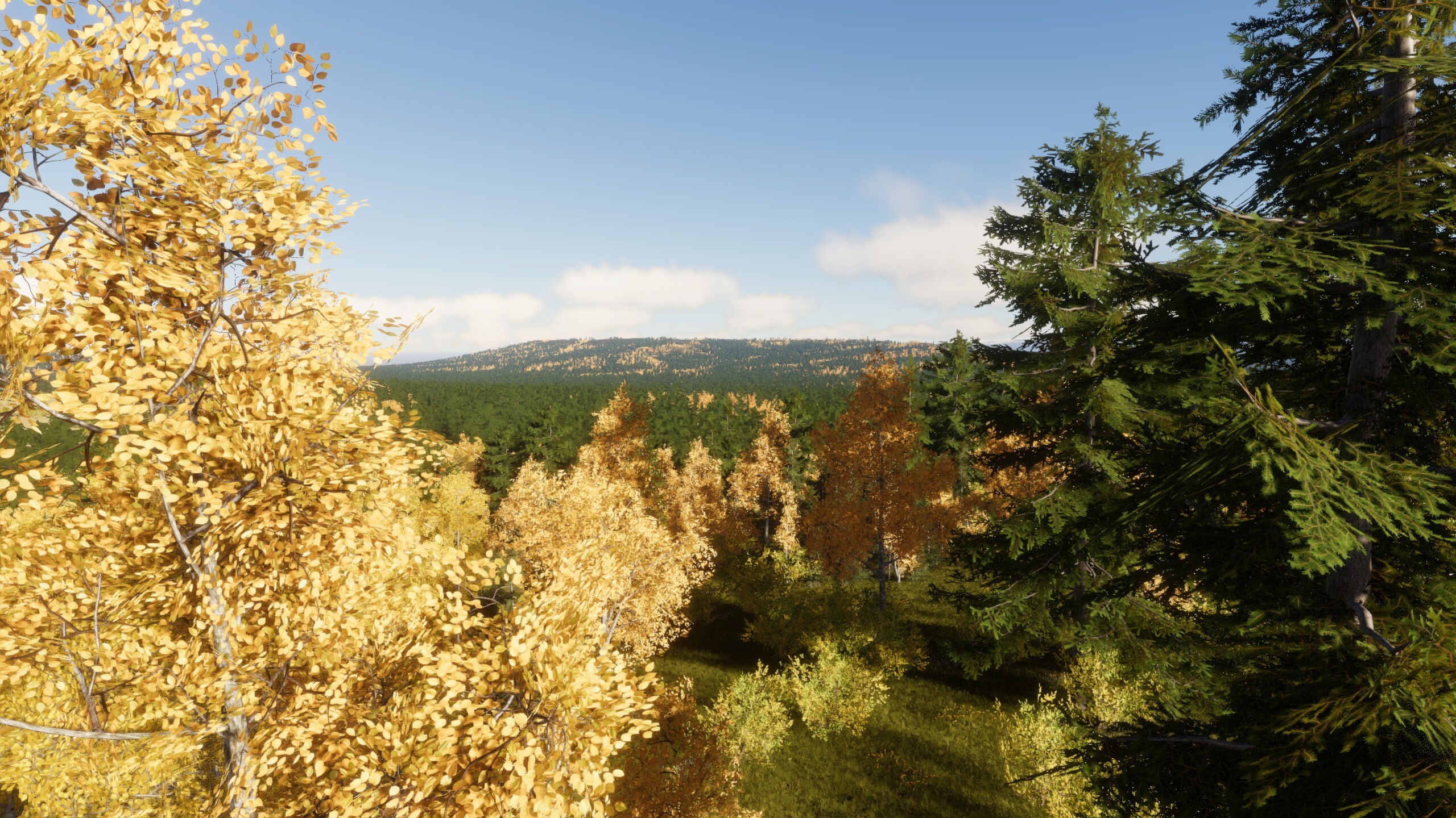
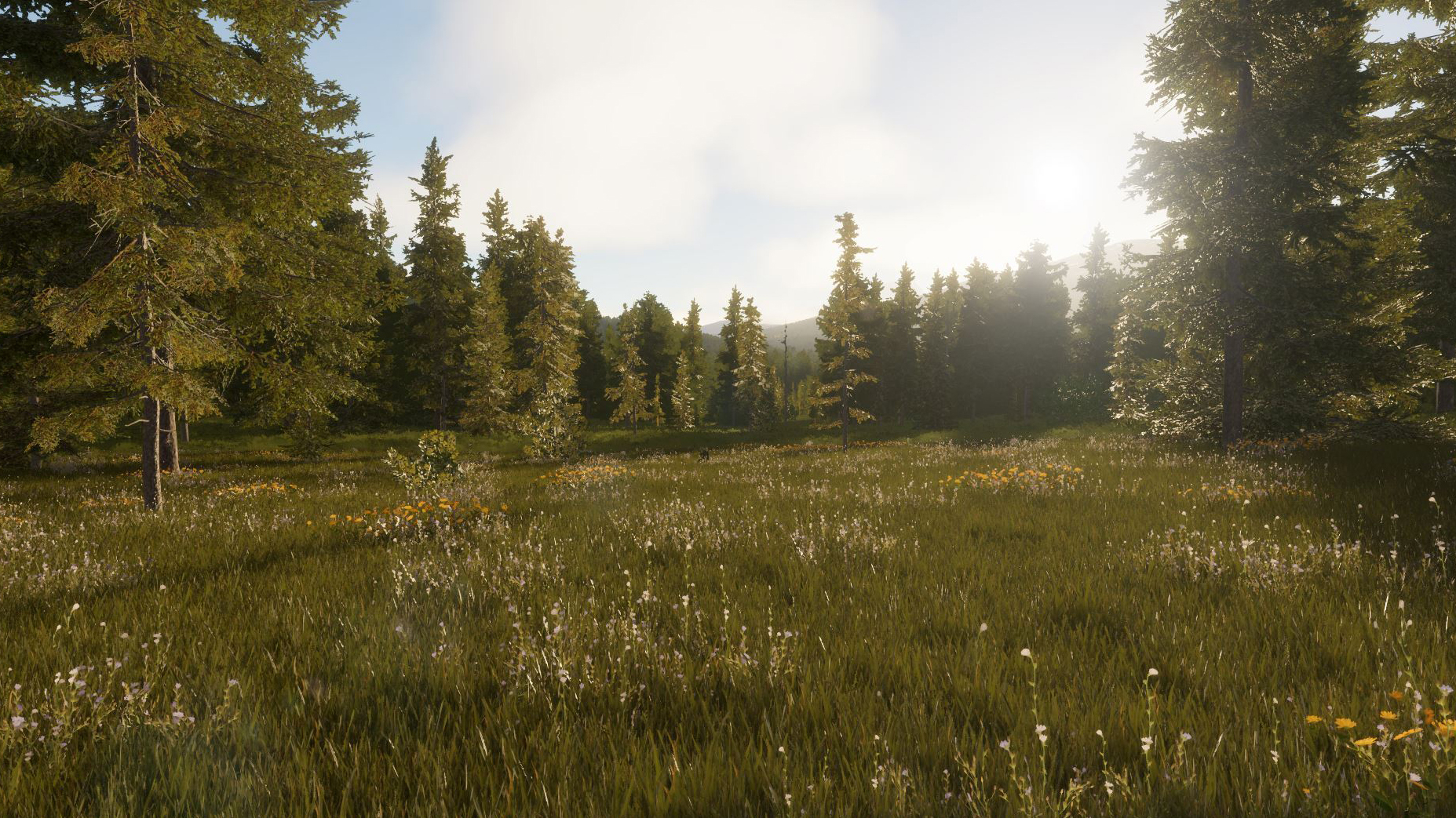
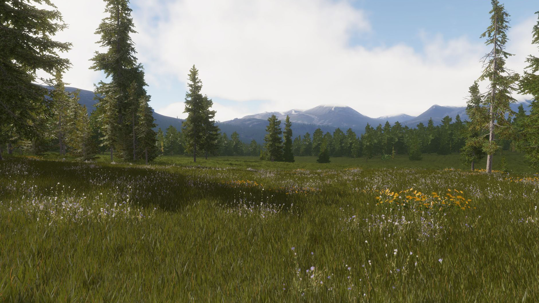
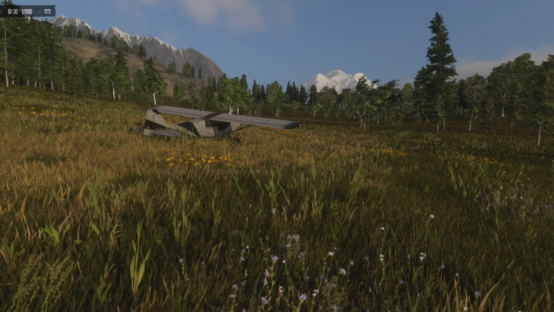
The wilderness here is rich and noticeably greener than the autumnal forests of Waking. Evergreen trees cover the hillsides and line the rivers and lakes, and herds of deer move through the forests and open valleys. Foxes are particularly at home in Riverine, while goats and rabbits also graze throughout the southern valleys. An abundance of water and plant life makes Riverine one of the more hospitable environments on the island.
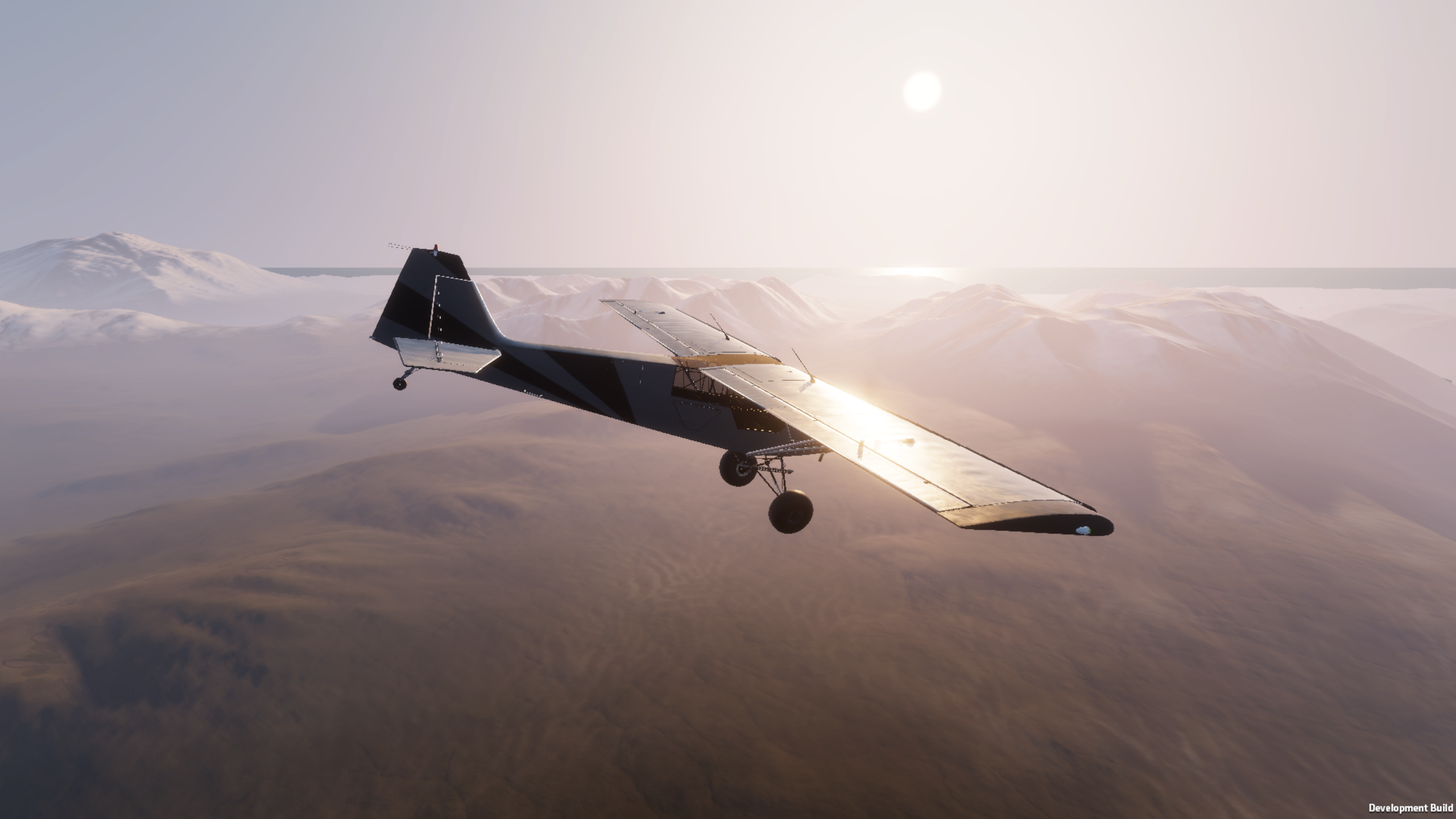
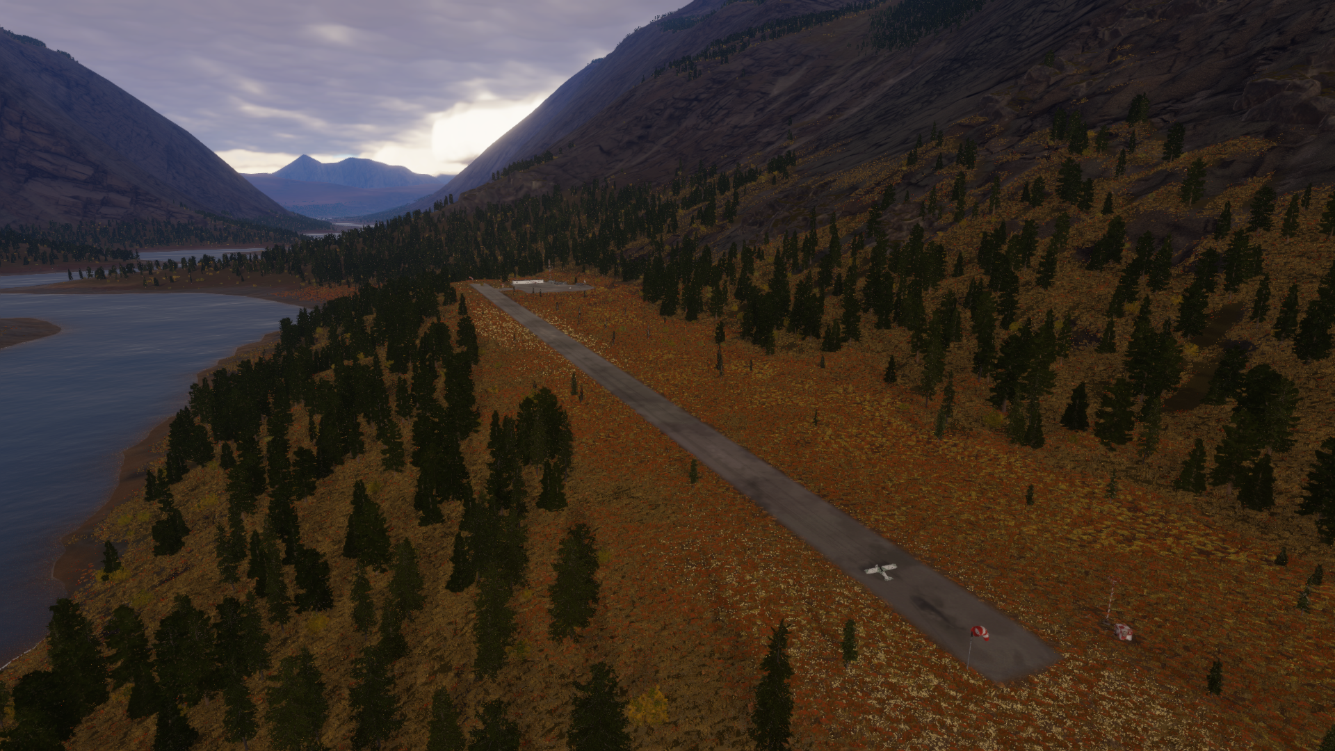
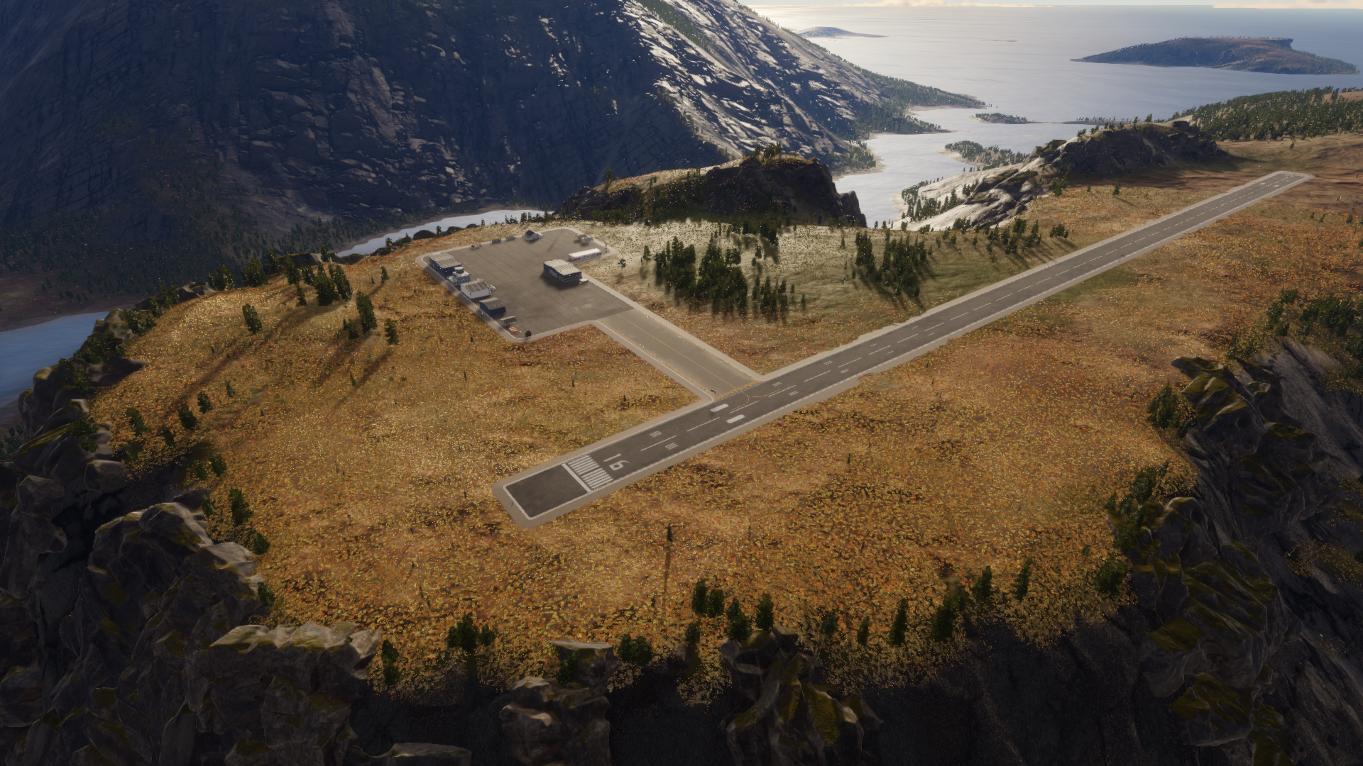
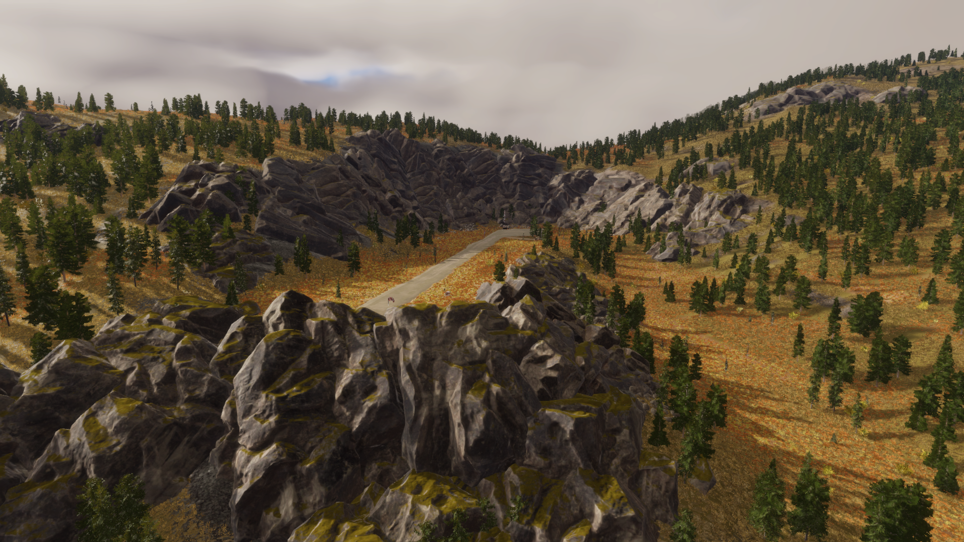
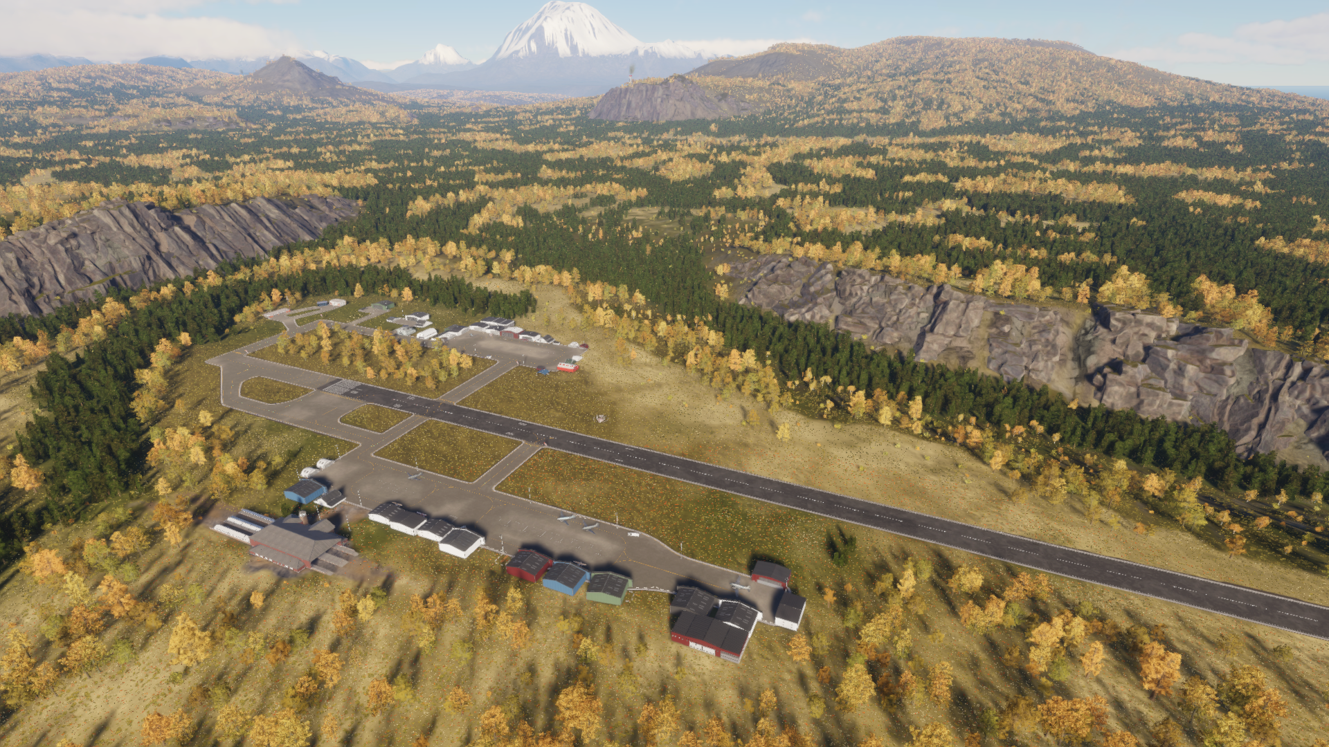
For pilots, Riverine offers a different kind of challenge than Redshore. Rather than being exposed to open coastal winds and fragmented islands, flight here is defined by enclosed terrain, mountain passes, high elevations, and rapidly changing visibility. Airfields and landing strips are scattered through valleys, along waterways, and beneath the surrounding peaks, requiring pilots to remain conscious of both terrain and weather.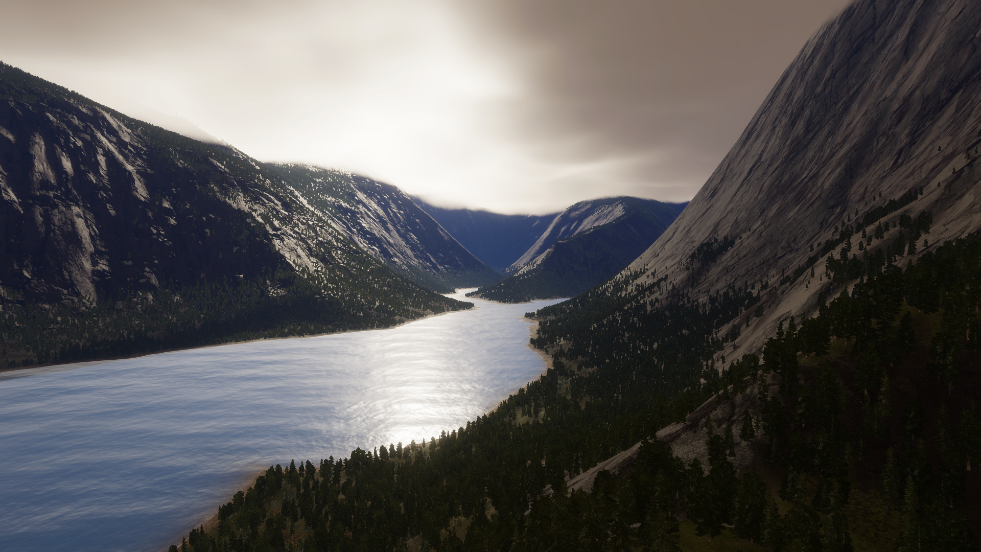
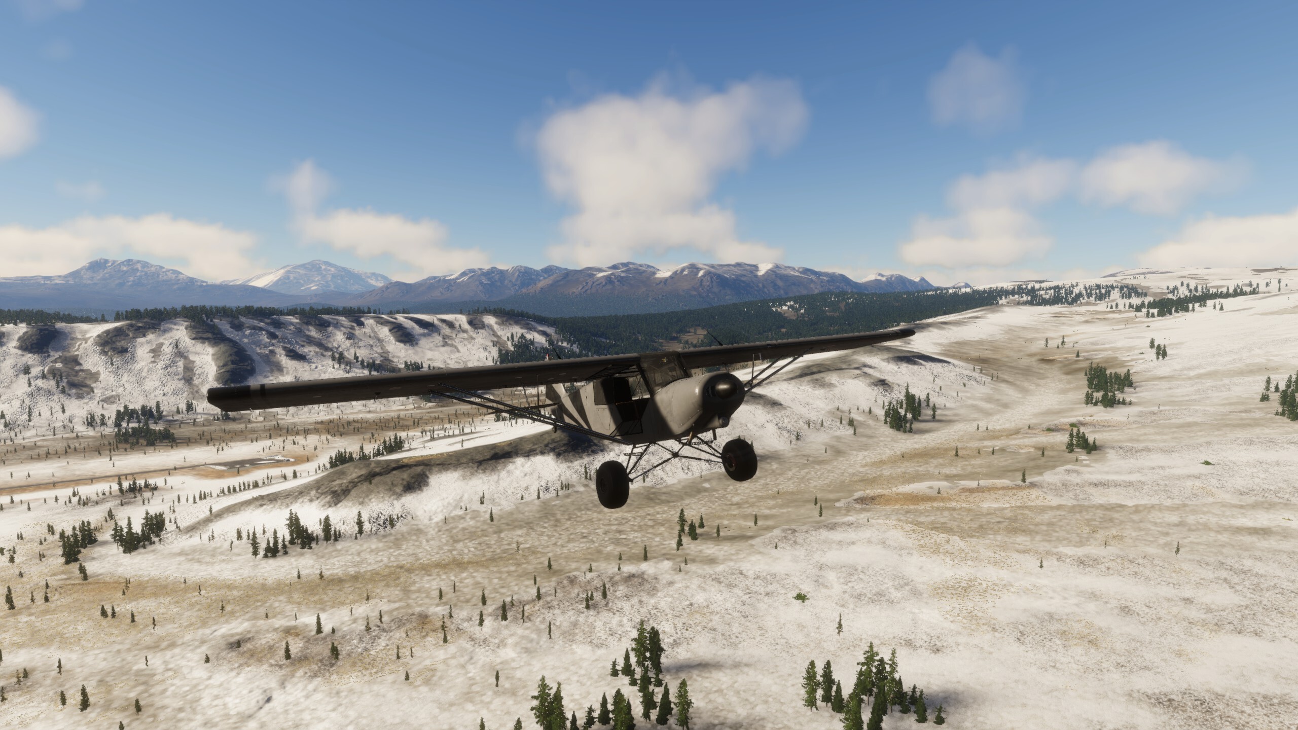
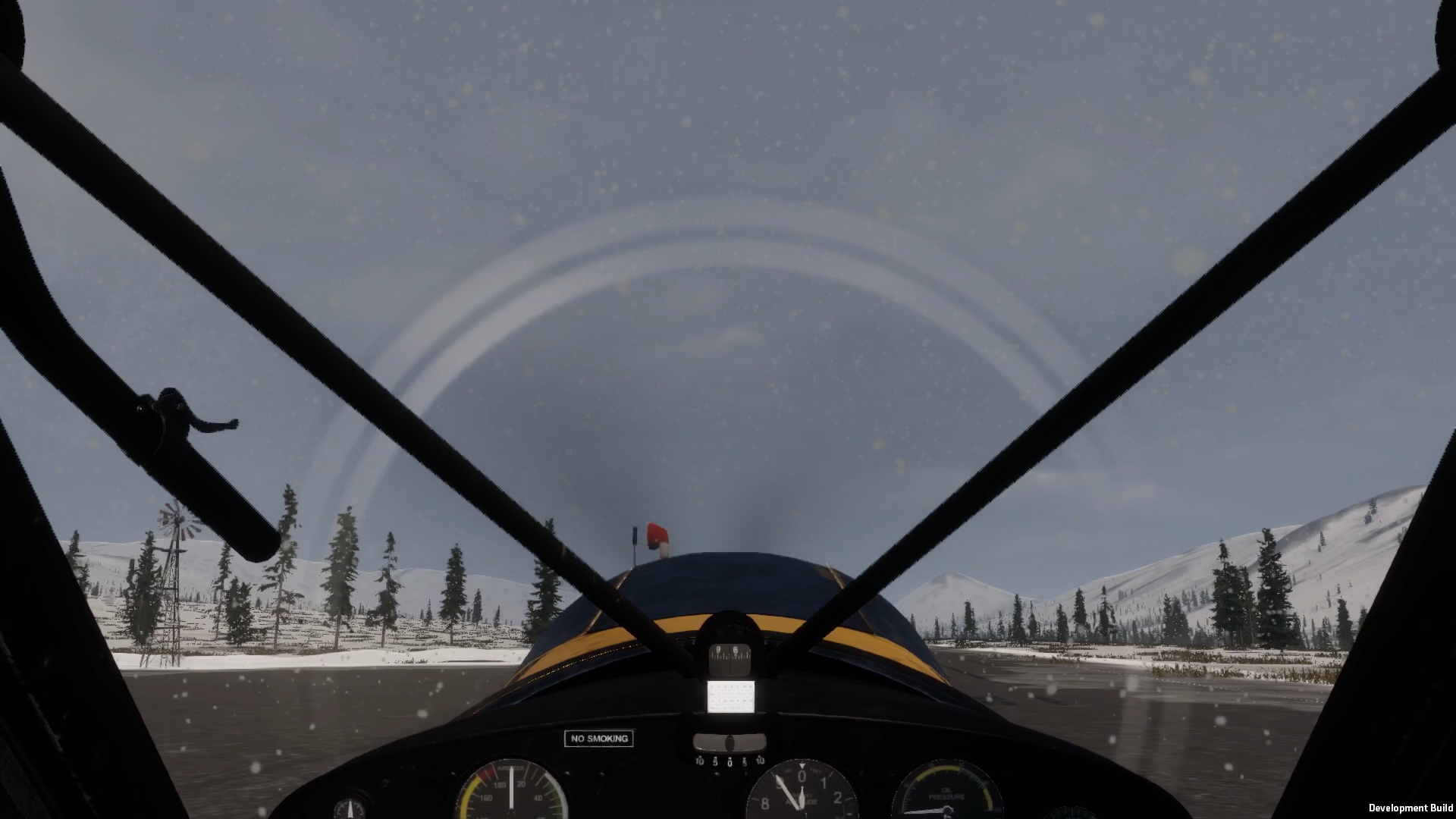
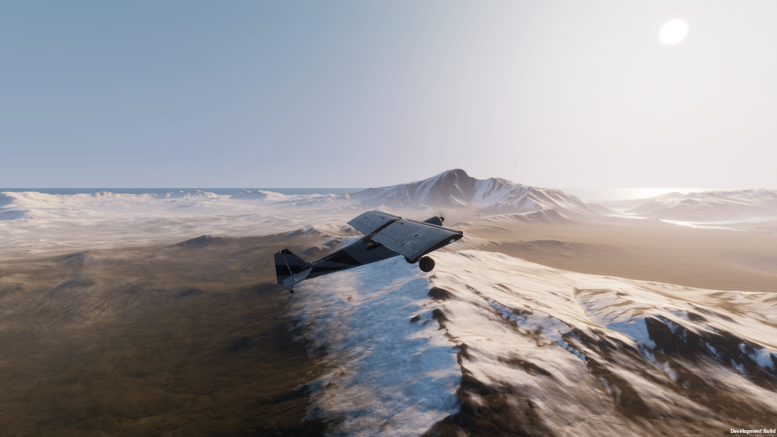
At its northern edge, Riverine culminates in one of the islands most dramatic transitions. Passing through the mountain gates between Beacon Ridge and the Wretched Crag reveals the vast expanse of the Barrens. The green valleys, forests, and waterways of Riverine fall away behind you, replaced by colder skies, snow-covered terrain, and the hostile openness of the Silent Span.
Riverine is the heart in the south of the island: green, sheltered, and abundant, but surrounded by reminders of what lies beyond. It is a region where rivers connect distant communities, mountains define the horizon, and the weather can transform a familiar valley into an entirely different landscape within minutes.
Where can you land in Riverine? Here is a breakdown of places you'll spot:
Major Airports - 1
Minor Airfields - 2
Small Strips - 2
Bush Strips
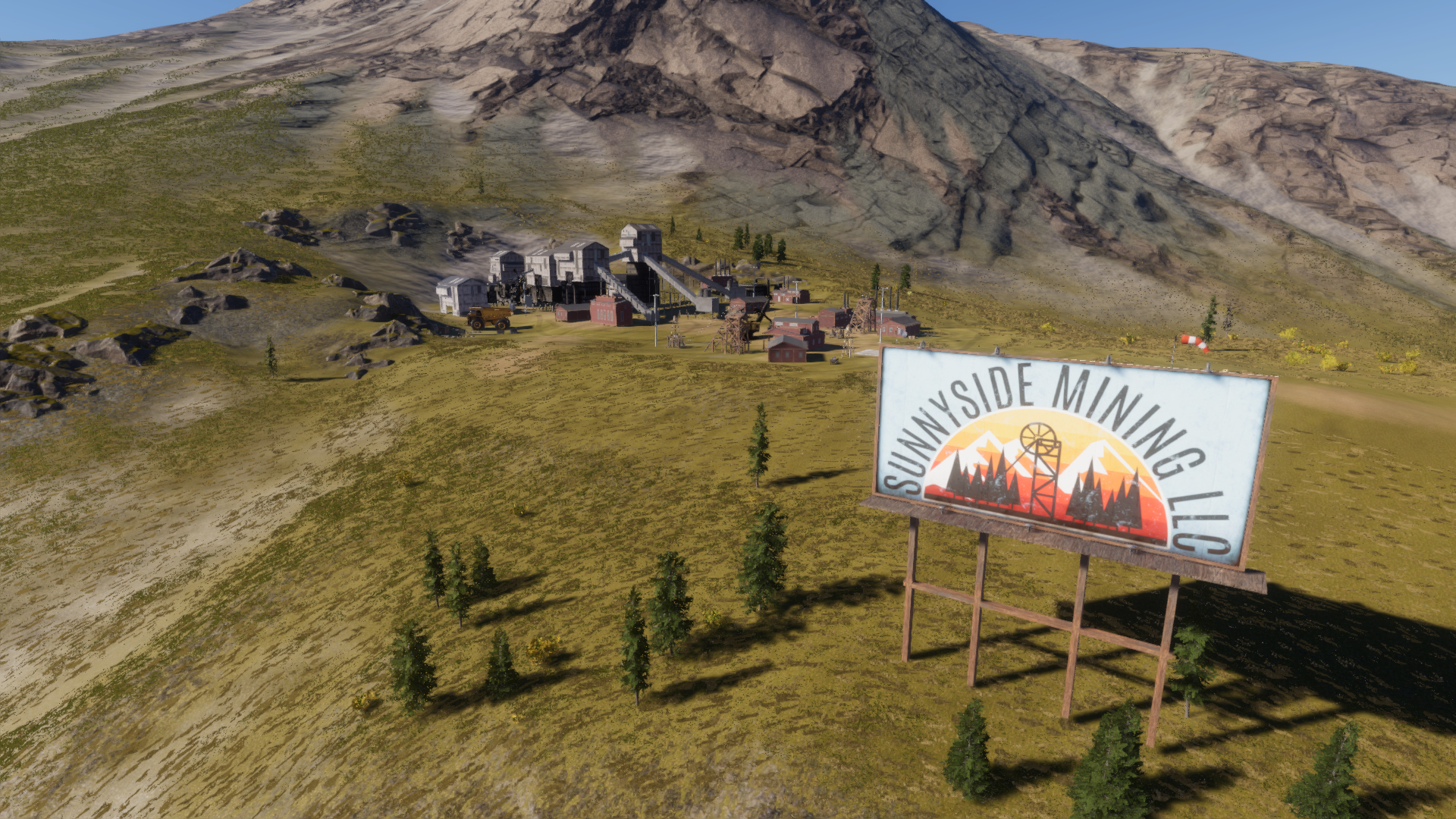
Mines & Quarries - 3
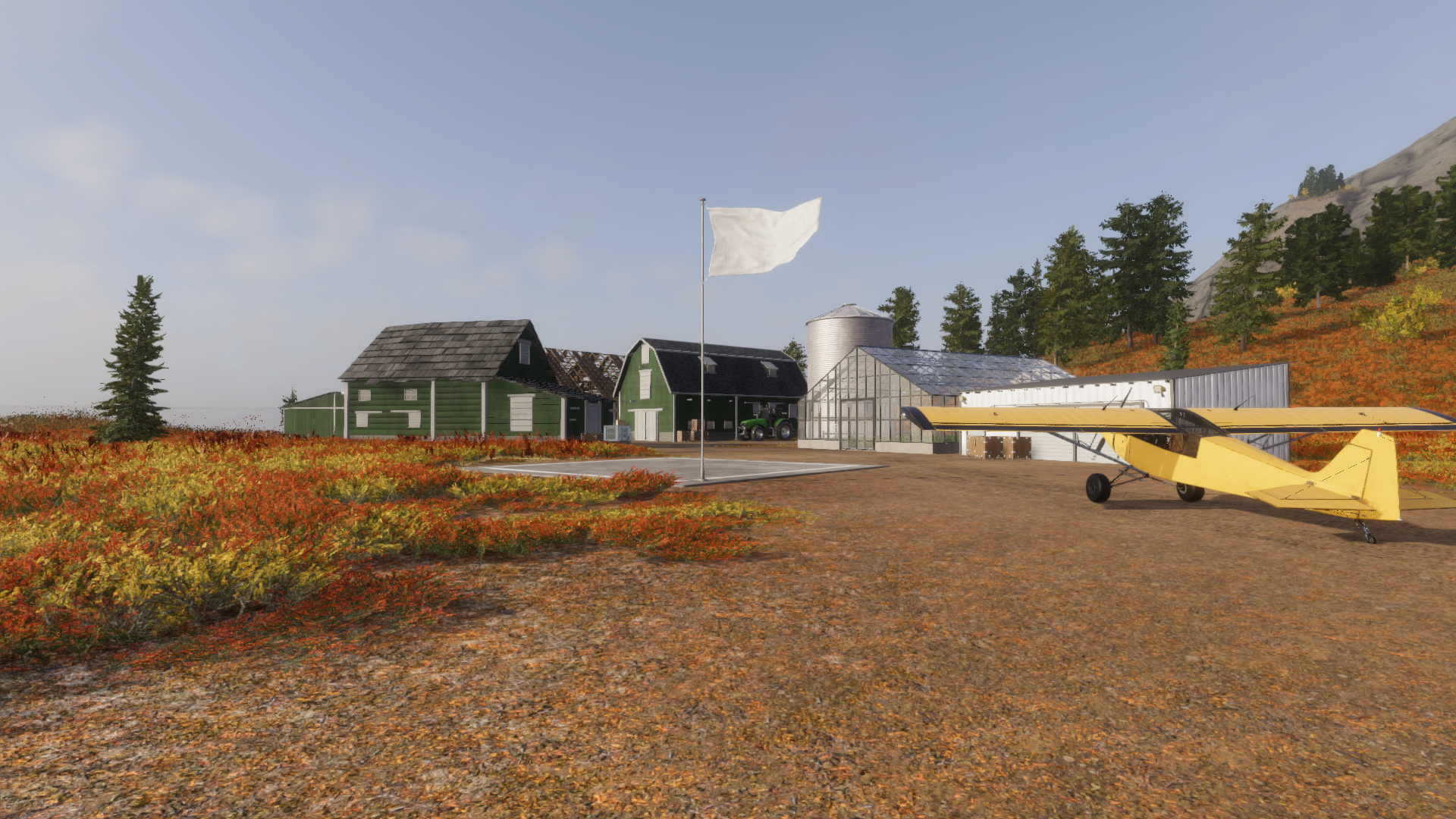
Farms - 6
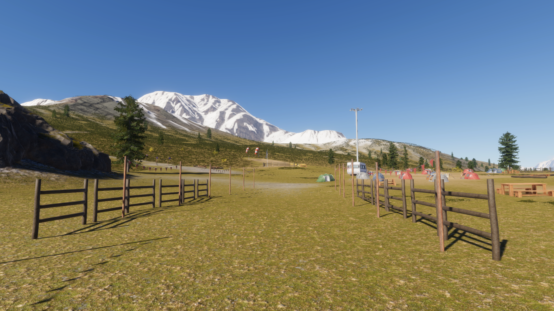
Campsites - 2
Settlements - 2
Country Estates - 1
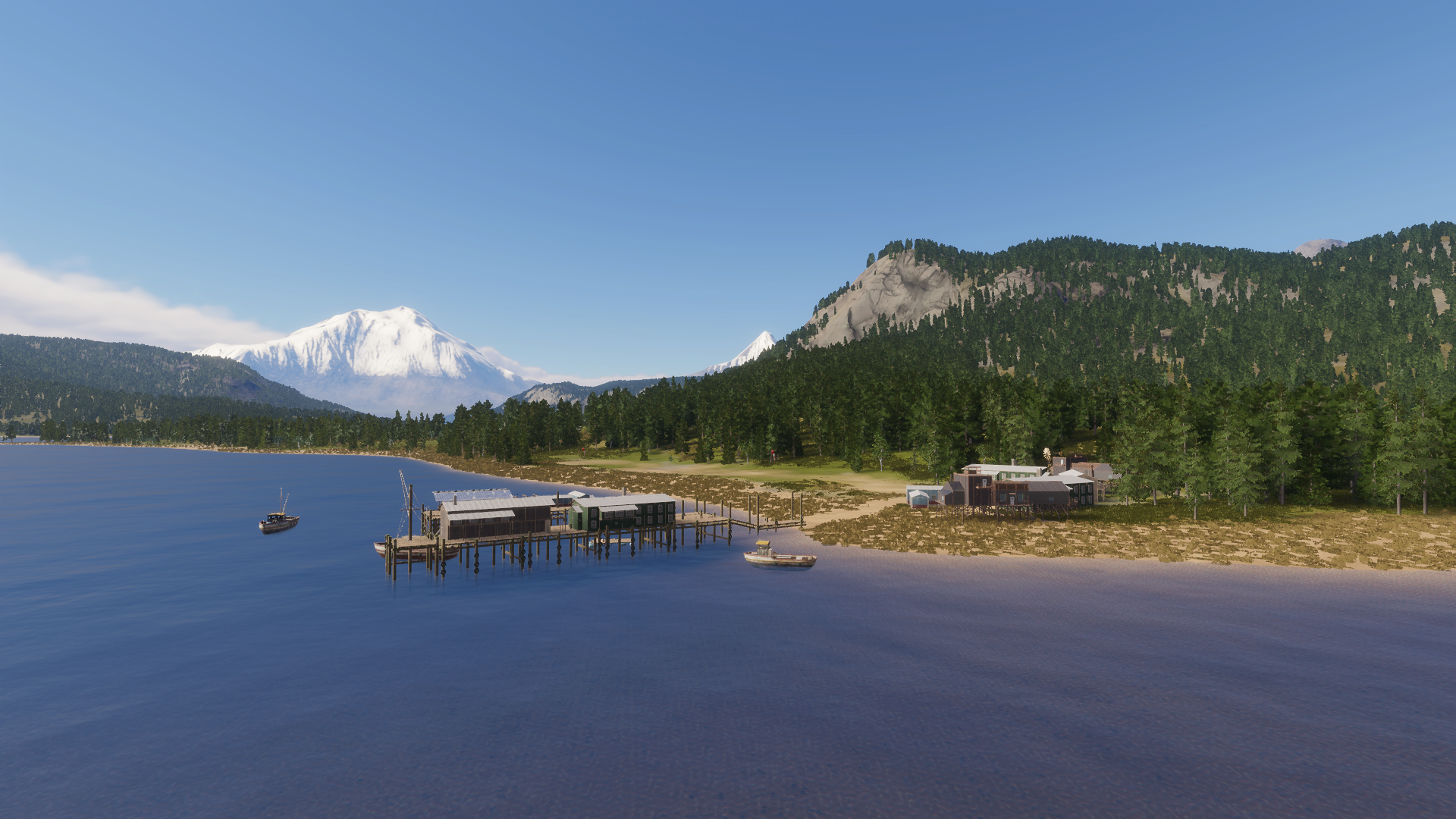
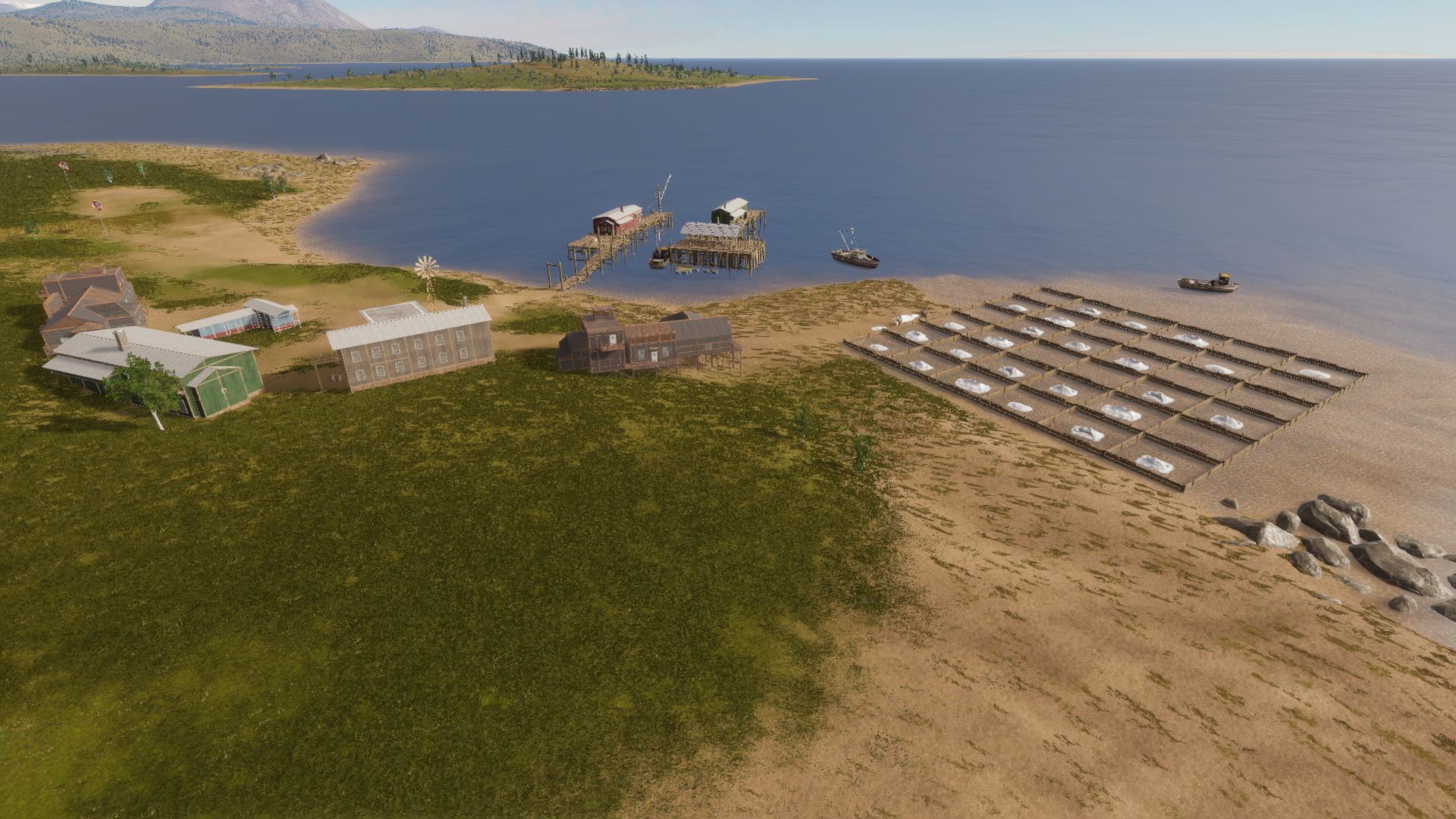
Ports - 1
You may have also noticed we kicked off a Deadstick Dispatch series where Jeff Sparks the Design Director for the game sits down and walks you through various parts of the game. You can watch the first 4 episodes below.
Finally, we've been sharing a bunch of things across our short form channels over the past couple of months, so we wanted to highlight our favourite videos below.
- The Mythwright Team

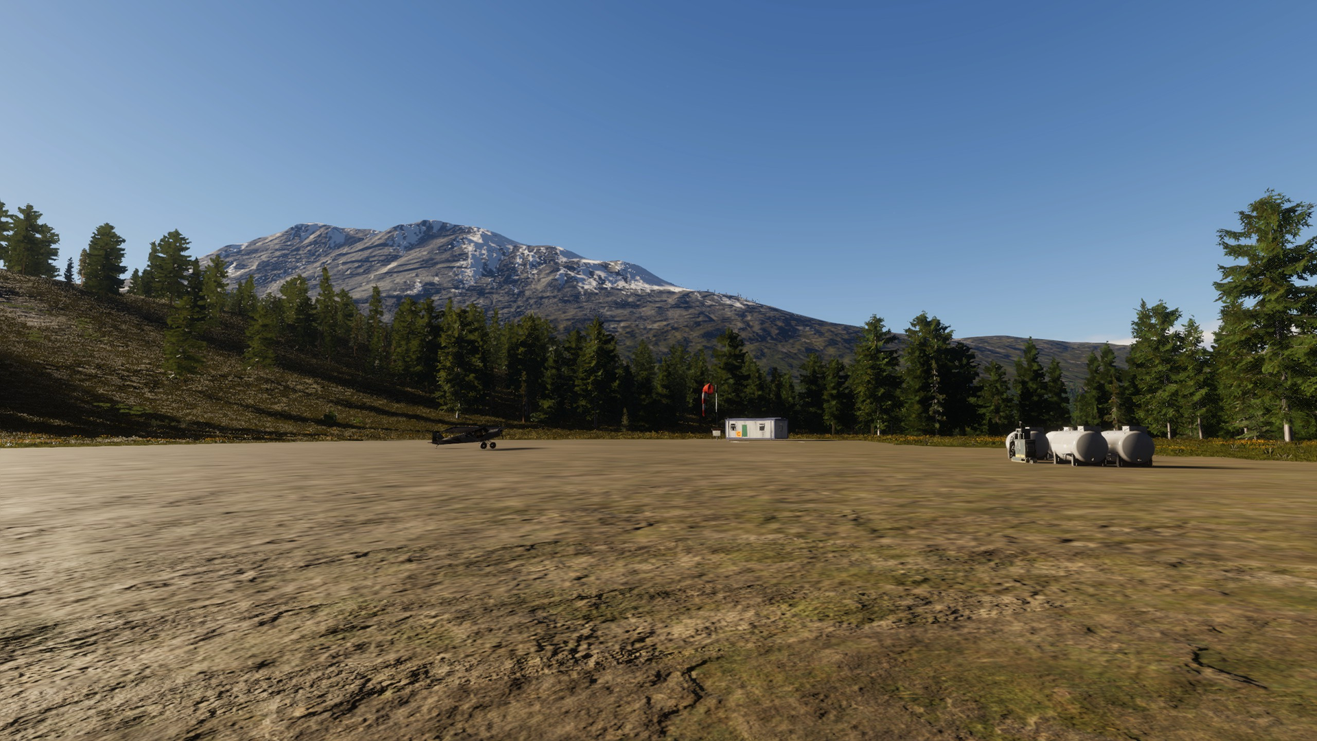
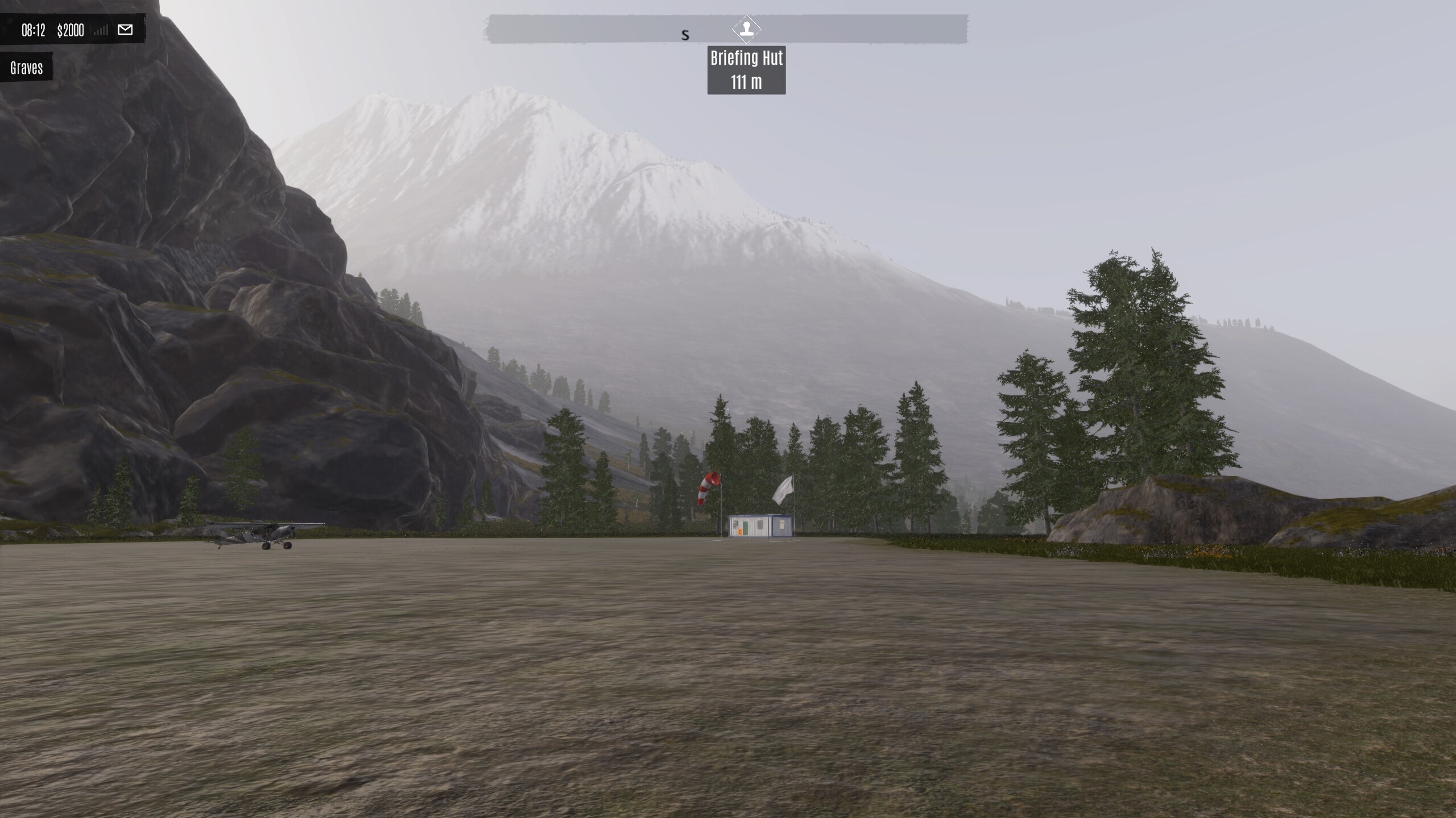 November 2025
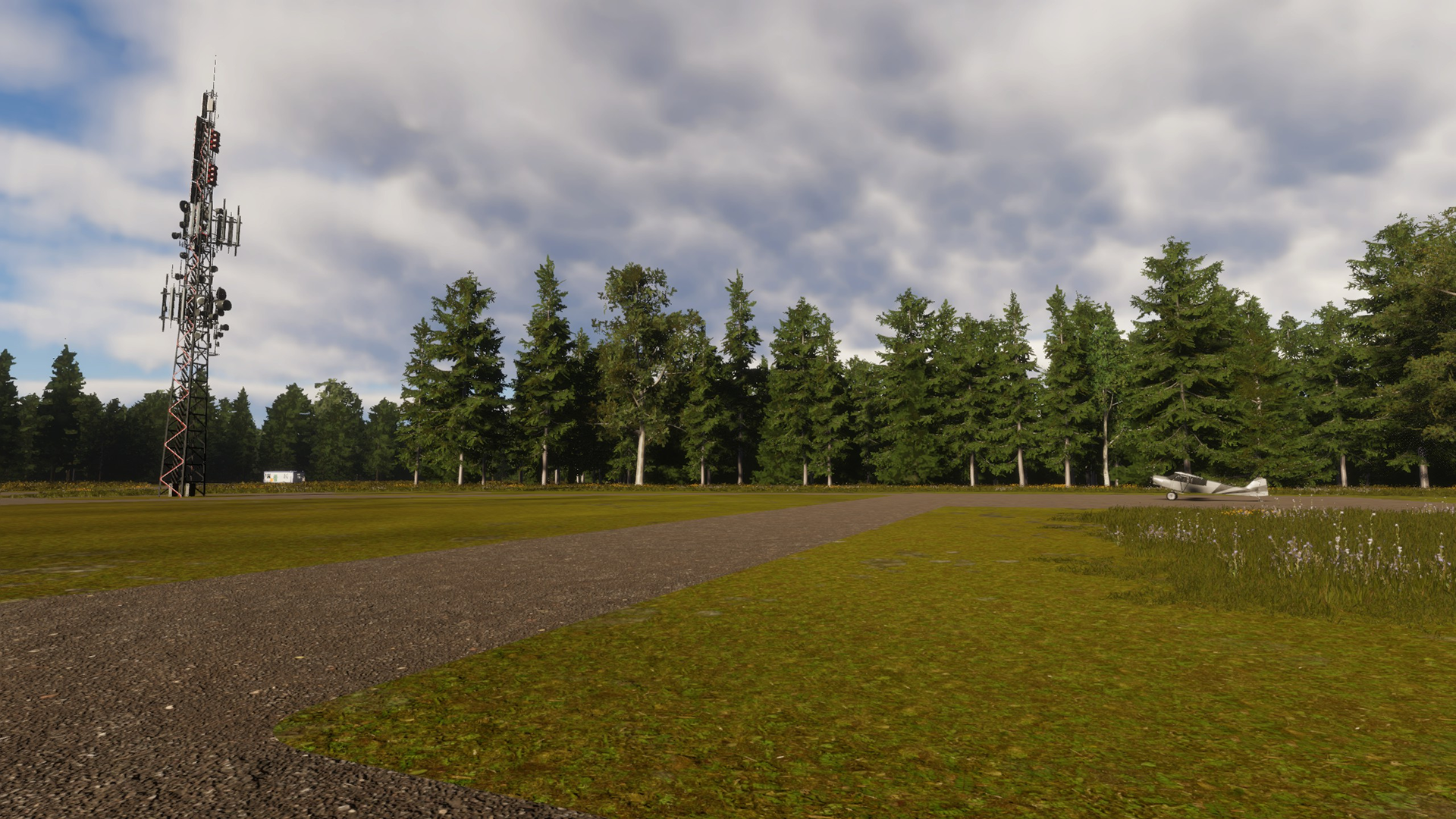 May 2025
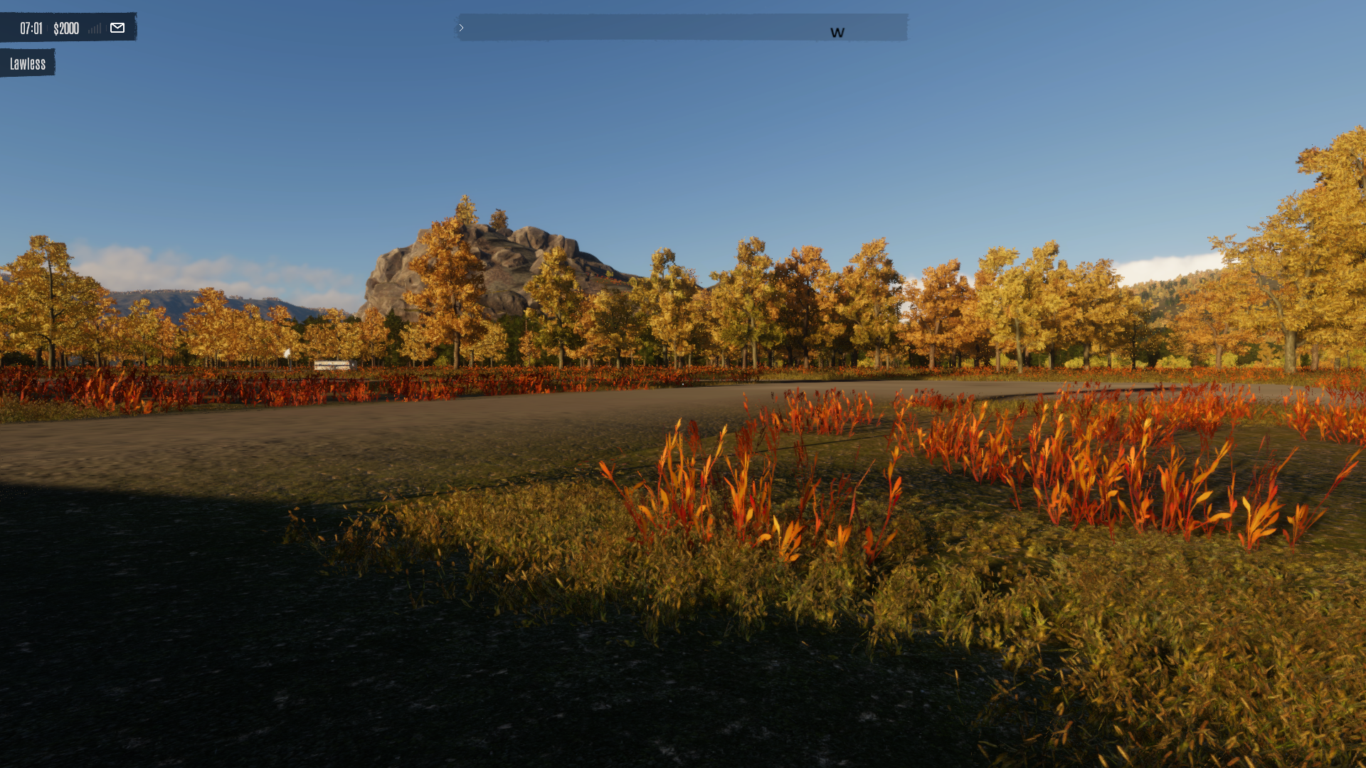 November 2025
 May 2025
 November 2025
 Valley tour
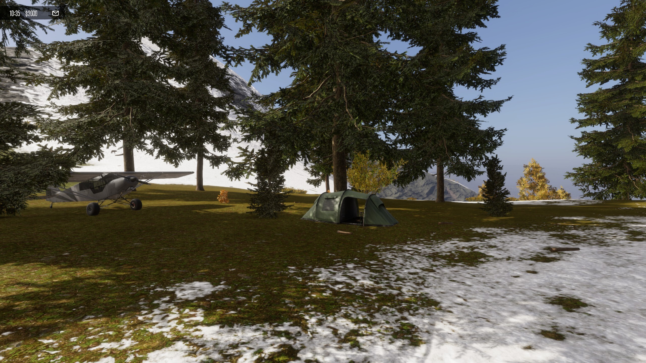
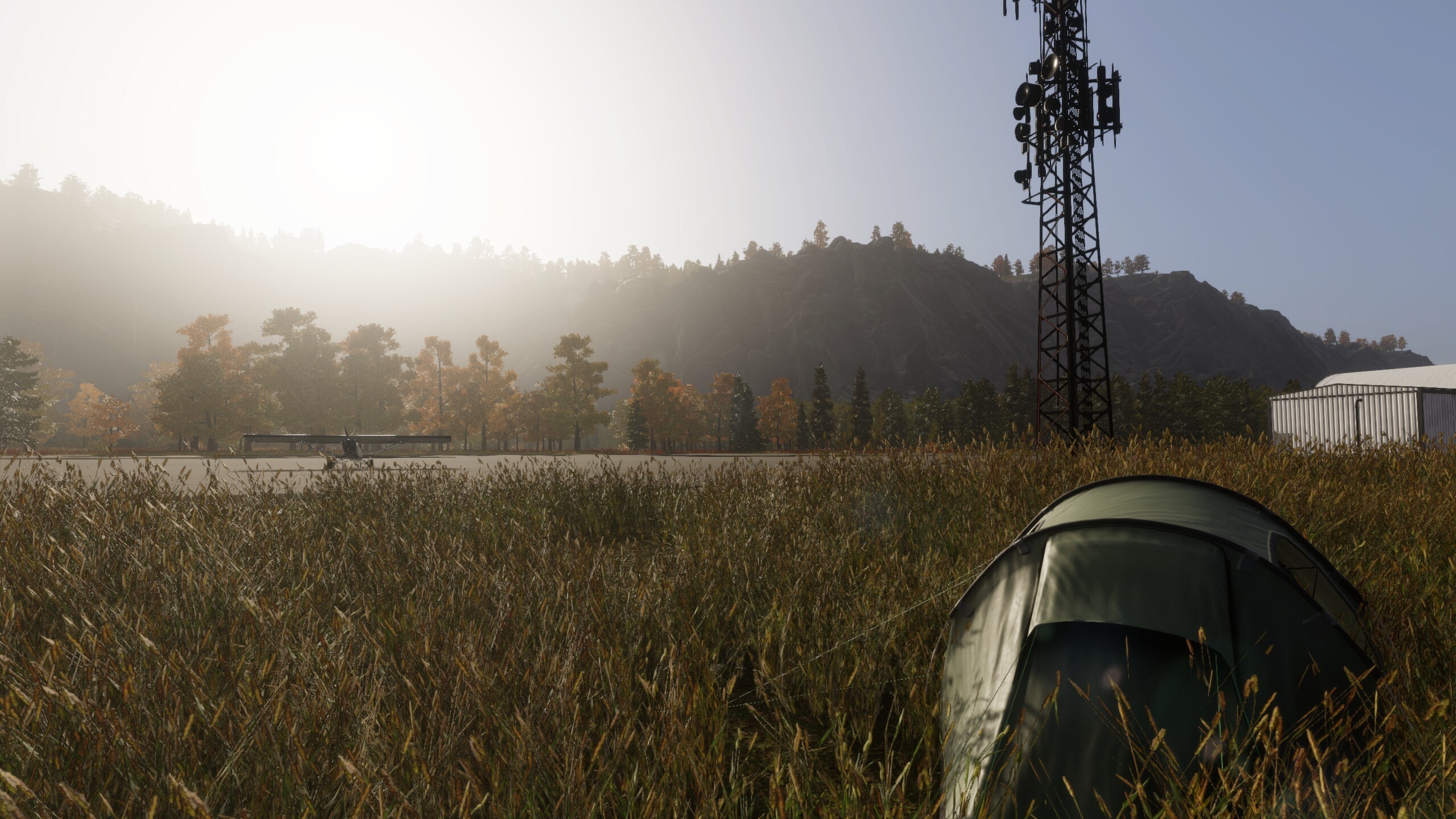
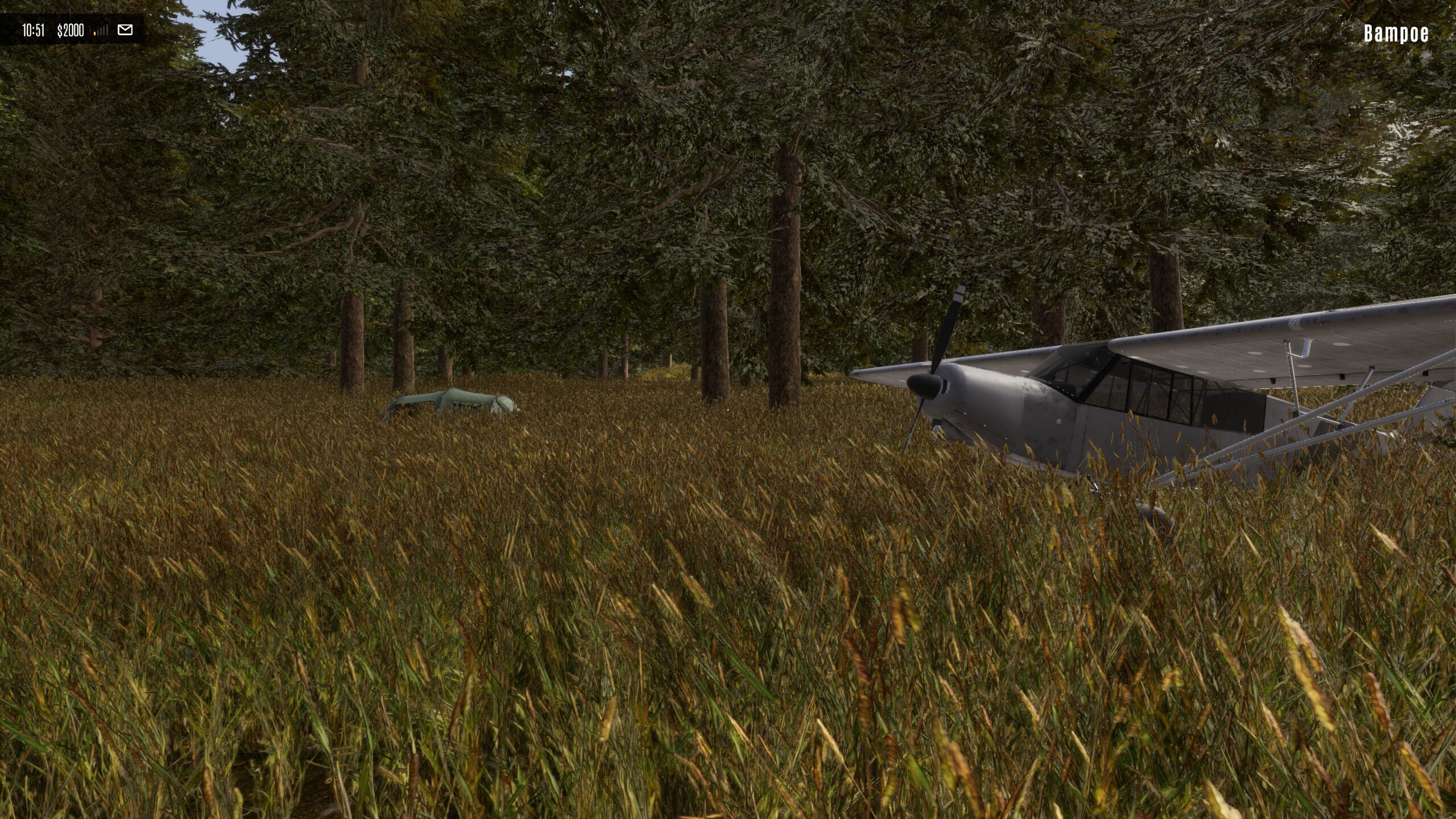 Here are a few recent short form videos we'll think you'll enjoy: